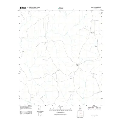
2011 Map of Burnt Corn
USGS Topo · Published 2011About this map
The settlement of Burnt Corn serves as a central landmark in this rural landscape of southern Alabama, where a network of county roads like County Hwy-30 and Sand Bottom Rd connects scattered communities and family farmsteads. This 2011 survey documents a quiet interior region defined by its reliance on the land, with several legacy settlements including Ramah, Harpers Store, and Green Street remaining as anchor points for local history.
Find a feature on this map
41 named features on this map. Tap any name to fly to it.
Don’t see what you’re looking for? This feature index may not catch every label — zoom into the map to look around manually.
Map Details
Editions of this 2011 Burnt Corn Map
This is the sole edition of this map. No revisions or reprints were ever made.
Other maps of this area

1953 · Andalusia
USGS Topo · 1:250,000

1957 · Andalusia
USGS Topo · 1:250,000

1967 · Beatrice
USGS Topo · 1:24,000

1971 · Belleville
USGS Topo · 1:24,000

1971 · Skinnerton
USGS Topo · 1:24,000

1971 · China
USGS Topo · 1:24,000

1971 · Burnt Corn
USGS Topo · 1:24,000

1971 · Repton
USGS Topo · 1:24,000

1971 · Beatrice
USGS Topo · 1:24,000

1972 · Monroeville
USGS Topo · 1:24,000