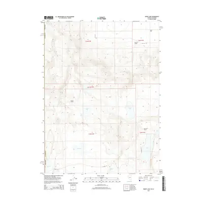
2014 Map of Burnt Lake
USGS Topo · Published 2014About this map
Duck Flat dominates the northeastern corner of this corner of Washoe County, Nevada, where the high desert landscape is punctuated by a network of ephemeral basins and perennial springs. The terrain is characterized by its drainage patterns through features like Rye Patch Canyon and Express Canyon, which lead toward seasonal water bodies including Willow Lake and Garden Lake. The presence of numerous water sources such as Fish Spring, Deer Spring, and Rowland Spring indicates a landscape where life and travel traditionally centered on these critical points of relief.
Find a feature on this map
24 named features on this map. Tap any name to fly to it.
Don’t see what you’re looking for? This feature index may not catch every label — zoom into the map to look around manually.
Map Details
Editions of this 2014 Burnt Lake Map
This is the sole edition of this map. No revisions or reprints were ever made.
Other maps of this area

1886 · Alturas
USGS Topo · 1:250,000

1886 · Honey Lake
USGS Topo · 1:250,000

1886 · Granite Range
USGS Topo · 1:250,000

1889 · Long Valley
USGS Topo · 1:250,000

1891 · Honey Lake
USGS Topo · 1:250,000

1892 · Alturas
USGS Topo · 1:250,000

1893 · Honey Lake
USGS Topo · 1:250,000

1894 · Granite Range
USGS Topo · 1:250,000

1954 · Observation Peak
USGS Topo · 1:62,500

1954 · Vya
USGS Topo · 1:250,000