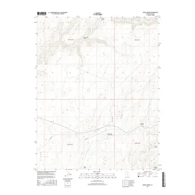
2017 Map of Burnt Spring
USGS Topo · Published 2017About this map
Red Rock Plateau dominates this landscape of the Utah high desert, where deep drainage systems like Moqui Canyon and Burnt Spring Canyon carve into the sandstone. The map reveals a land defined by water scarcity and relief, centered on reliable sources such as Burnt Spring and Red Cone Spring. The transport network is sparse, consisting primarily of the Burnt Springs Rd and Nokai Dome Rd, which follow the higher ground between canyon systems. This 2017 survey details the complex hydrology of the region, specifically where Castle Cr meets Castle Wash in the southern portion of the quadrangle. Other significant incisions into the plateau include Muleshoe Canyon and Mikes Canyon, illustrating the erosional patterns characteristic of San Juan County.
Find a feature on this map
15 named features on this map. Tap any name to fly to it.
Don’t see what you’re looking for? This feature index may not catch every label — zoom into the map to look around manually.
Map Details
Editions of this 2017 Burnt Spring Map
This is the sole edition of this map. No revisions or reprints were ever made.
Other maps of this area

1886 · Henry Mountains
USGS Topo · 1:250,000

1892 · Henry Mountains
USGS Topo · 1:250,000

1952 · Mancos Mesa
USGS Topo · 1:62,500

1953 · Lake Canyon
USGS Topo · 1:62,500

1953 · Mt. Ellsworth
USGS Topo · 1:62,500

1954 · White Canyon 3 SE
USGS Topo · 1:24,000

1954 · White Canyon 3 SW
USGS Topo · 1:24,000

1954 · Clay Hills 2 SW
USGS Topo · 1:24,000

1954 · Clay Hills 2 NW
USGS Topo · 1:24,000

1954 · Clay Hills 2 NE
USGS Topo · 1:24,000