
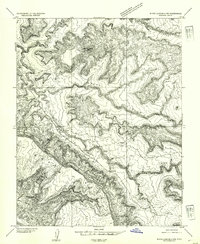
1954 Map of White Canyon 3 SE
USGS Topo · Published 1954About this map
The dramatic geography of San Juan County dominates this 1950s preliminary survey, characterized by the expansive Mancos Mesa and the winding course of White Canyon. This era of mapping captured the remote high desert of southeastern Utah just as aerial photography and multiplex methods were being refined to document its labyrinthine drainages and plateaus. Notable landmarks such as Chocolate Drop and the deep incisions of Mormon Canyon provide orientation in a landscape defined more by geology than settlement.
Find a feature on this map
6 named features on this map. Tap any name to fly to it.
Don’t see what you’re looking for? This feature index may not catch every label — zoom into the map to look around manually.
Map Details
Editions of this 1954 White Canyon 3 SE Map
This is the sole edition of this map. No revisions or reprints were ever made.
Other maps of this area

1886 · Henry Mountains
USGS Topo · 1:250,000

1892 · Henry Mountains
USGS Topo · 1:250,000

1952 · Mancos Mesa
USGS Topo · 1:62,500

1952 · Natural Bridges
USGS Topo · 1:62,500

1954 · White Canyon 3 NW
USGS Topo · 1:24,000

1954 · White Canyon 3 NE
USGS Topo · 1:24,000

1954 · White Canyon 4 SW
USGS Topo · 1:24,000
1954 · White Canyon 4 NW
USGS Topo · 1:24,000

1954 · White Canyon 3 SW
USGS Topo · 1:24,000

1954 · Clay Hills 2 NW
USGS Topo · 1:24,000