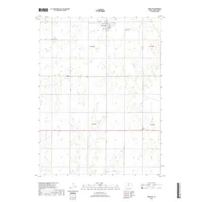
2018 Map of Burr Oak
USGS Topo · Published 2018About this map
Burr Oak sits near the northern edge of this North Central Kansas landscape, defined by a grid of rural roads and the meandering paths of several local watercourses. The town plan is clearly visible, featuring a network of streets including Main St, Kansas St, and Lincoln St. To the south lies the small community of Otego, situated where S Rd meets Otego Rd. The terrain is deeply etched by a system of creeks such as White Rock Cr, Porcupine Cr, and Elm Cr, which cut through the high plains. For those tracing family histories or early land use, the map identifies several distinct burial grounds, including the Burr Oak Cem on the outskirts of town and the more remote Baker Cem to the west. Farther south, the West Lutheran Cem serves as a notable landmark along 130 Rd, reflecting the heritage of the early settlers in Jewell County.
Find a feature on this map
37 named features on this map. Tap any name to fly to it.
Don’t see what you’re looking for? This feature index may not catch every label — zoom into the map to look around manually.
Map Details
Editions of this 2018 Burr Oak Map
This is the sole edition of this map. No revisions or reprints were ever made.
Other maps of this area

1894 · Mankato
USGS Topo · 1:125,000

1955 · Beloit
USGS Topo · 1:250,000

1959 · Beloit
USGS Topo · 1:250,000
1968 · Burr Oak NW
USGS Topo · 1:24,000

1968 · Burr Oak
USGS Topo · 1:24,000
1969 · Ionia
USGS Topo · 1:24,000
1969 · Cawker City NW
USGS Topo · 1:24,000

1969 · Mankato
USGS Topo · 1:24,000
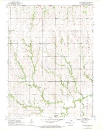
1969 · North Branch
USGS Topo · 1:24,000
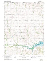
1969 · Mankato NW
USGS Topo · 1:24,000