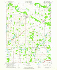
1961 Map of Burr Oak
USGS Topo · Published 1962About this map
The New York Central railroad corridor anchors the northern landscape of this survey, passing directly through Burr Oak. This region of the Michigan-Indiana border is defined by a dense network of glacial lakes and small-scale agriculture. Genealogists will find a significant number of burial grounds, including Dutch Settlement Cem, Sanborn Cem, and Freedom Cem, which reflect the area's early settlement patterns.
Find a feature on this map
43 named features on this map. Tap any name to fly to it.
Don’t see what you’re looking for? This feature index may not catch every label — zoom into the map to look around manually.
Map Details
Editions of this 1961 Burr Oak Map
2 editions found
Other maps of this area

1940 · Orland
USGS Topo · 1:24,000

1941 · Orland
USGS Topo · 1:24,000

1947 · Mongo
USGS Topo · 1:24,000

1947 · Lagrange
USGS Topo · 1:24,000

1953 · Fort Wayne
USGS Topo · 1:250,000

1956 · Fort Wayne
USGS Topo · 1:250,000
1960 · Bronson North
USGS Topo · 1:24,000
1960 · Bronson South
USGS Topo · 1:24,000
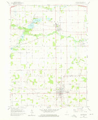
1960 · Lagrange
USGS Topo · 1:24,000
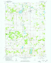
1960 · Orland
USGS Topo · 1:24,000