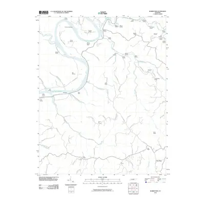
2010 Map of Burristown
USGS Topo · Published 2010About this map
Butlers Landing and the winding waters of the Cordell Hull Reservoir define this riverine landscape in Clay County. The Cumberland River's historical path is traced through several distinct bottomlands and islands, including Plumlee Bottom, Tinsley Bottom, and the large Turkey Creek Island. These alluvial plains are flanked by dramatic elevation changes at Seven Sisters Bluff and Wpa Bluff, illustrating the transition from the river basin to the surrounding ridges. Rural life is anchored by a network of family-named cemeteries and small settlements like New Hope and the Baptist Ridge community.
Find a feature on this map
93 named features on this map. Tap any name to fly to it.
Don’t see what you’re looking for? This feature index may not catch every label — zoom into the map to look around manually.
Map Details
Editions of this 2010 Burristown Map
This is the sole edition of this map. No revisions or reprints were ever made.
Other maps of this area

1897 · Standingstone
USGS Topo · 1:125,000

1898 · Standingstone
USGS Topo · 1:125,000

1924 · Lillydale
USGS Topo · 1:62,500

1925 · Gainesboro
USGS Topo · 1:62,500

1926 · Lillydale
USGS Topo · 1:62,500

1929 · Lillydale
USGS Topo · 1:62,500

1929 · Gainesboro
USGS Topo · 1:62,500

1929 · Tompkinsville
USGS Topo · 1:62,500

1951 · Windle
USGS Topo · 1:24,000
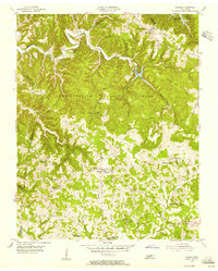
1955 · Hilham
USGS Topo · 1:24,000