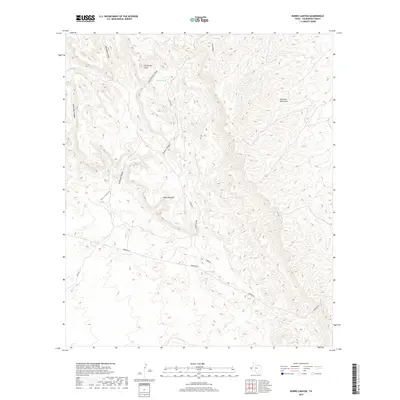
2019 Map of Burro Canyon
USGS Topo · Published 2019About this map
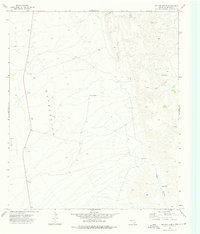
The Delaware Mountains dominate this high-desert landscape in Culberson County, where intricate drainage patterns have carved a complex series of canyons and points. Notable among these landforms is the distinctive Janes Window and the sharp profile of Cooky Hat Point, which rises above Little Cadorniz Canyon. The map reveals a land managed for water in an arid environment, as evidenced by several livestock water catchments including Nester Tank, Twin Tanks, and Boulder Tank. Modern transit through this difficult terrain is limited to unpaved ranching routes like Stone Rd and Roberto Rd, which navigate the contours between steep features like No Mans Canyon and Burro Canyon. This survey provides a precise look at the topographical relationship between these water features and the complex network of draws and ridges that define the Pecos region's western edge.
Find a feature on this map
18 named features on this map. Tap any name to fly to it.
Don’t see what you’re looking for? This feature index may not catch every label — zoom into the map to look around manually.
Map Details
Editions of this 2019 Burro Canyon Map
This is the sole edition of this map. No revisions or reprints were ever made.
Other maps of this area

1906 · Van Horn
USGS Topo · 1:125,000

1954 · Van Horn
USGS Topo · 1:250,000

1958 · Van Horn
USGS Topo · 1:250,000

1973 · Chico Draw East
USGS Topo · 1:24,000

1973 · Bitter Well Mountain
USGS Topo · 1:24,000
1973 · Delaware Ranch
USGS Topo · 1:24,000

1973 · Burro Canyon
USGS Topo · 1:24,000
1973 · Seven Heart Gap NW
USGS Topo · 1:24,000
1973 · Emory Corral
USGS Topo · 1:24,000
1973 · Six Bar Ranch
USGS Topo · 1:24,000