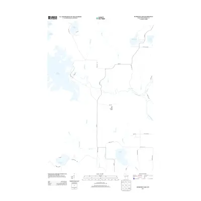
2013 Map of Burrows Lake
USGS Topo · Published 2013About this map
The Tomahawk River carves a winding path through this northern Wisconsin landscape, punctuated by the Halfbreed Rapids and fed by numerous tributaries such as Bear Cr and Oelhafen Cr. This territory is defined by its extensive water network, dominated by the sprawling Willow Reservoir in the west and smaller basins like McCormick Lake and Skunk Lake. The presence of the Jack Pine Lookout Tower near Tower Rd serves as a reminder of the region's managed timber and conservation efforts. Moving south toward Burrows Lake, the terrain softens into wetlands surrounding Swamp Lake. Local transit is characterized by secondary routes like Co Hwy-Y and gravel roads that provide access to the various shorelines and forest interiors.
Find a feature on this map
36 named features on this map. Tap any name to fly to it.
Don’t see what you’re looking for? This feature index may not catch every label — zoom into the map to look around manually.
Map Details
Editions of this 2013 Burrows Lake Map
This is the sole edition of this map. No revisions or reprints were ever made.
Other maps of this area

1938 · Minocqua
USGS Topo · 1:48,000

1938 · Lac Du Flambeau
USGS Topo · 1:48,000

1939 · Lac Du Flambeau
USGS Topo · 1:48,000

1939 · Mc Cord
USGS Topo · 1:48,000

1939 · Cassian
USGS Topo · 1:48,000

1942 · Cassian
USGS Topo · 1:48,000

1946 · Minocqua
USGS Topo · 1:48,000

1946 · Lac Du Flambeau
USGS Topo · 1:48,000

1947 · Mc Cord
USGS Topo · 1:48,000

1949 · Minocqua
USGS Topo · 1:48,000