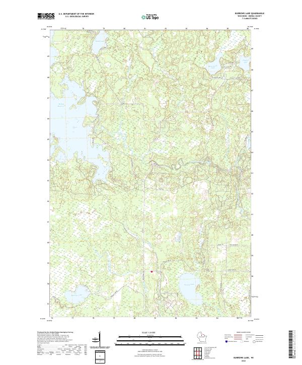
2022 Map of Burrows Lake
USGS Topo · Published 2022About this map
The Willow Reservoir and the winding Tomahawk River define this Northwoods landscape in Oneida County, where the intricate hydrology of northern Wisconsin is on full display. The river course is marked by the Halfbreed Rapids, suggesting the natural obstructions that historical travelers and loggers encountered before the widespread damming of the region's waterways. Numerous glacial lakes dot the terrain, including Burrows Lake, Swamp Lake, and McCormick Lake, providing a clear view of the area's wetland-dominated geography.
Find a feature on this map
46 named features on this map. Tap any name to fly to it.
Don’t see what you’re looking for? This feature index may not catch every label — zoom into the map to look around manually.
Map Details
Editions of this 2022 Burrows Lake Map
This is the sole edition of this map. No revisions or reprints were ever made.
Other maps of this area

1938 · Minocqua
USGS Topo · 1:48,000

1938 · Lac Du Flambeau
USGS Topo · 1:48,000

1939 · Lac Du Flambeau
USGS Topo · 1:48,000

1939 · Mc Cord
USGS Topo · 1:48,000

1939 · Cassian
USGS Topo · 1:48,000

1942 · Cassian
USGS Topo · 1:48,000

1946 · Minocqua
USGS Topo · 1:48,000

1946 · Lac Du Flambeau
USGS Topo · 1:48,000

1947 · Mc Cord
USGS Topo · 1:48,000

1949 · Minocqua
USGS Topo · 1:48,000