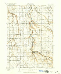
1919 Map of Burt
USGS Topo · Published 1959About this map
The Flint River carves a winding path through this corner of Michigan, serving as the geographic anchor for settlements like Flushing and Montrose. This 1919 survey documents a landscape defined by an incredibly dense network of one-room schoolhouses and rural infrastructure before the consolidation of the mid-20th century. Notable institutions such as St.Michaels Church and the McGregor School appear alongside small agricultural hubs like Burt and New Lothrop.
Find a feature on this map
85 named features on this map. Tap any name to fly to it.
Don’t see what you’re looking for? This feature index may not catch every label — zoom into the map to look around manually.
Map Details
Editions of this 1919 Burt Map
This is the sole edition of this map. No revisions or reprints were ever made.
Other maps of this area
1917 · Chesaning
USGS Topo · 1:62,500
1917 · St. Charles
USGS Topo · 1:62,500
1919 · Saginaw
USGS Topo · 1:62,500
1920 · Flint
USGS Topo · 1:62,500
1920 · Holly
USGS Topo · 1:62,500
1921 · Burt
USGS Topo · 1:62,500
1922 · Holly
USGS Topo · 1:62,500
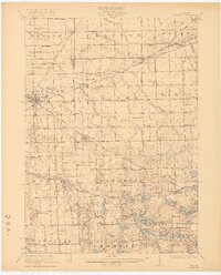
1922 · Durand
USGS Topo · 1:62,500
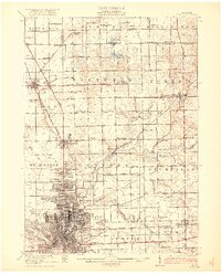
1922 · Flint
USGS Topo · 1:62,500
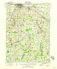
1926 · Corunna
USGS Topo · 1:62,500