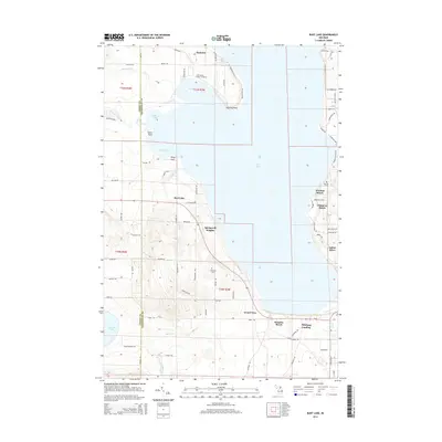
2014 Map of Burt Lake
USGS Topo · Published 2014About this map
Burt Lake dominates this northern Michigan landscape, where the Emmet Co Cheboygan Co line bisects the deep waters and complex shoreline. The map documents a blend of residential lakeside developments and significant cultural landmarks, most notably the Saint Mary's Indian Cemetery near Colonial Point and the Harmon Grave further south. The drainage patterns of the Maple River and Crooked River converge into Bullhead Bay, illustrating the hydrologic connection between the region's major inland lakes.
Find a feature on this map
86 named features on this map. Tap any name to fly to it.
Don’t see what you’re looking for? This feature index may not catch every label — zoom into the map to look around manually.
Map Details
Editions of this 2014 Burt Lake Map
This is the sole edition of this map. No revisions or reprints were ever made.
Other maps of this area

1955 · Cheboygan
USGS Topo · 1:250,000

1957 · Wolverine
USGS Topo · 1:62,500

1957 · Mullett Lake
USGS Topo · 1:62,500

1958 · Cheboygan
USGS Topo · 1:250,000

1958 · Pellston
USGS Topo · 1:62,500

1958 · Petoskey
USGS Topo · 1:62,500

1975 · Petoskey NE
USGS Topo · 1:24,000

1982 · Petoskey
USGS Topo · 1:100,000

1982 · Pellston
USGS Topo · 1:25,000
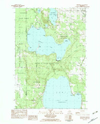
1982 · Indianville
USGS Topo · 1:25,000