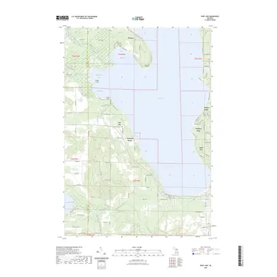
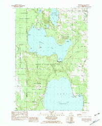
2023 Map of Burt Lake
USGS Topo · Published 2023About this map
Burt Lake dominates the center of this landscape along the Emmet Co Cheboygan Co line, where the shoreline is punctuated by early 21st-century residential developments and seasonal retreats. On the eastern shore, the village of Indian River serves as a focal point, flanked by established beach communities like Wauban Beach and Chippewa Beach. The northern reaches include the settlement of Elmhurst and the prominent Colonial Point, while the southern end transitions toward Pickerel Lake.
Find a feature on this map
101 named features on this map. Tap any name to fly to it.
Don’t see what you’re looking for? This feature index may not catch every label — zoom into the map to look around manually.
Map Details
Editions of this 2023 Burt Lake Map
This is the sole edition of this map. No revisions or reprints were ever made.
Other maps of this area

1955 · Cheboygan
USGS Topo · 1:250,000
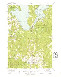
1957 · Wolverine
USGS Topo · 1:62,500
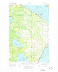
1957 · Mullett Lake
USGS Topo · 1:62,500

1958 · Cheboygan
USGS Topo · 1:250,000
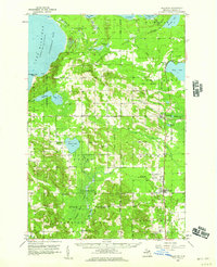
1958 · Pellston
USGS Topo · 1:62,500
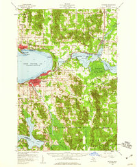
1958 · Petoskey
USGS Topo · 1:62,500
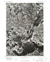
1975 · Petoskey NE
USGS Topo · 1:24,000
1982 · Petoskey
USGS Topo · 1:100,000
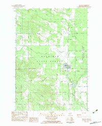
1982 · Pellston
USGS Topo · 1:25,000
1982 · Indianville
USGS Topo · 1:25,000