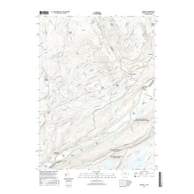
2016 Map of Bushkill
USGS Topo · Published 2016About this map
Kittatinny Mtn and the winding Delaware River define this corner of the Northeast, where Pennsylvania and New Jersey meet. This 2016 survey highlights the significant conservation lands of the Delaware Water Gap National Recreation Area, including the path of the Appalachian National Scenic Trail as it traverses the ridge. The landscape is characterized by its numerous falls, such as Bushkill Falls and Resica Falls, which punctuate the drainages of the Bush-Kill and Little Bush-Kill.
Find a feature on this map
59 named features on this map. Tap any name to fly to it.
Don’t see what you’re looking for? This feature index may not catch every label — zoom into the map to look around manually.
Map Details
Editions of this 2016 Bushkill Map
This is the sole edition of this map. No revisions or reprints were ever made.
Other maps of this area

1888 · Hackettstown
USGS Topo · 1:62,500

1891 · Wallpack
USGS Topo · 1:62,500

1891 · Delaware Water Gap
USGS Topo · 1:62,500

1893 · Delaware Water Gap
USGS Topo · 1:62,500

1893 · Wallpack
USGS Topo · 1:62,500

1894 · Hackettstown
USGS Topo · 1:62,500

1898 · Hackettstown
USGS Topo · 1:62,500

1900 · Raritan
USGS Topo · 1:125,000

1905 · Raritan
USGS Topo · 1:125,000

1905 · Hackettstown
USGS Topo · 1:62,500
Featured Places
- Blairstown, NJ
- Hardwick Township, NJ
- Middle Smithfield Township, PA
- Lehman Township, PA
- Bushkill, Lehman Township