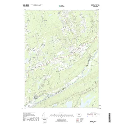
2019 Map of Bushkill
USGS Topo · Published 2019About this map
The Delaware River serves as the central artery for this borderland where Pennsylvania meets New Jersey, cutting through the gap between Kittatinny Mtn and Big Ridge. In the river's path, several large landforms like Tocks Island, Labar Island, and Poxono Island break the current, while the surrounding hills are punctuated by smaller settlements such as Bushkill and Shawnee on Delaware.
Find a feature on this map
57 named features on this map. Tap any name to fly to it.
Don’t see what you’re looking for? This feature index may not catch every label — zoom into the map to look around manually.
Map Details
Editions of this 2019 Bushkill Map
This is the sole edition of this map. No revisions or reprints were ever made.
Other maps of this area

1888 · Hackettstown
USGS Topo · 1:62,500

1891 · Wallpack
USGS Topo · 1:62,500

1891 · Delaware Water Gap
USGS Topo · 1:62,500

1893 · Delaware Water Gap
USGS Topo · 1:62,500
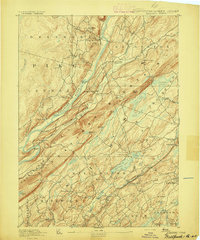
1893 · Wallpack
USGS Topo · 1:62,500

1894 · Hackettstown
USGS Topo · 1:62,500
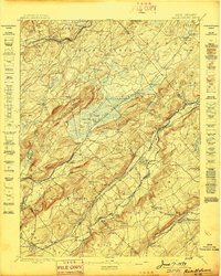
1898 · Hackettstown
USGS Topo · 1:62,500
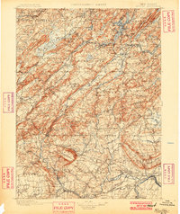
1900 · Raritan
USGS Topo · 1:125,000
1905 · Raritan
USGS Topo · 1:125,000
1905 · Hackettstown
USGS Topo · 1:62,500
Featured Places
- Blairstown, NJ
- Hardwick Township, NJ
- Middle Smithfield Township, PA
- Lehman Township, PA
- Bushkill, Lehman Township