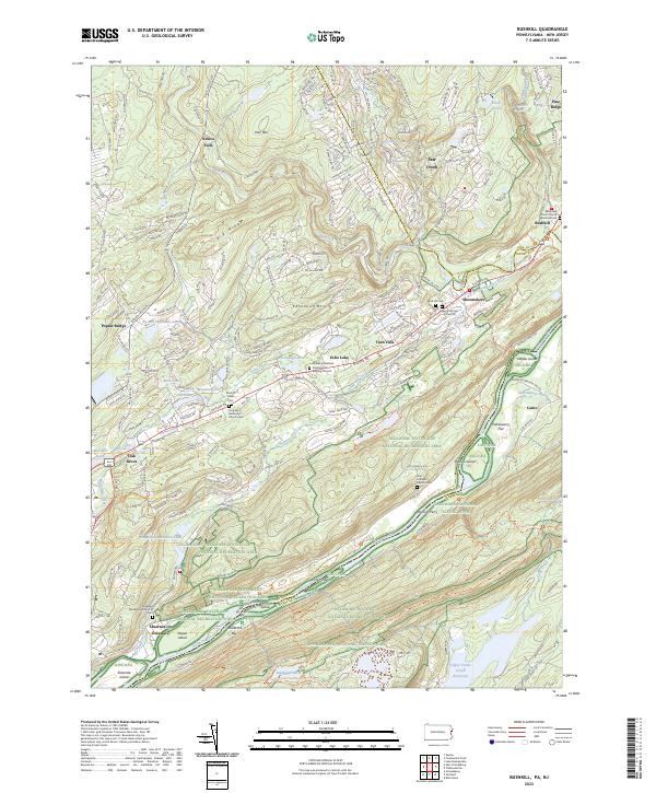
2023 Map of Bushkill
USGS Topo · Published 2023About this map
The Delaware River carves a deep valley through the borderlands of Pennsylvania and New Jersey, anchoring a landscape where riverine geography and recreation dominate. This modern survey details the Delaware Water Gap National Recreation Area, showing a network of river islands such as Tocks Island, Labor Island, and Depue Island. The river corridor is flanked by the towering Kittatinny Mtn to the south and Pine Mtn to the north, with the Appalachian National Scenic Trail tracing the ridgeline.
Find a feature on this map
68 named features on this map. Tap any name to fly to it.
Don’t see what you’re looking for? This feature index may not catch every label — zoom into the map to look around manually.
Map Details
Editions of this 2023 Bushkill Map
This is the sole edition of this map. No revisions or reprints were ever made.
Other maps of this area

1888 · Hackettstown
USGS Topo · 1:62,500

1891 · Wallpack
USGS Topo · 1:62,500

1891 · Delaware Water Gap
USGS Topo · 1:62,500

1893 · Delaware Water Gap
USGS Topo · 1:62,500

1893 · Wallpack
USGS Topo · 1:62,500

1894 · Hackettstown
USGS Topo · 1:62,500

1898 · Hackettstown
USGS Topo · 1:62,500

1900 · Raritan
USGS Topo · 1:125,000

1905 · Raritan
USGS Topo · 1:125,000

1905 · Hackettstown
USGS Topo · 1:62,500
Featured Places
- Blairstown, NJ
- Hardwick Township, NJ
- Bushkill, Lehman Township
- Calno, Hardwick Township
- Shawnee on Delaware, Smithfield Township