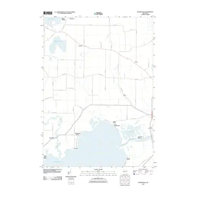
2010 Map of Busseyville
USGS Topo · Published 2010About this map
Lake Koshkonong dominates the southern landscape of this Jefferson County region, where the Rock River feeds into the expansive water body near the settlements of Carcajou and Koshkonong Manor. The area is defined by a blend of glacial lake features and human history, notably at Sylvan Mounds near Lake Ripley in the north. The settlement of Busseyville sits along the banks of Koshkonong Creek, while the town of Oakland serves as a central hub for the surrounding rural road network.
Find a feature on this map
55 named features on this map. Tap any name to fly to it.
Don’t see what you’re looking for? This feature index may not catch every label — zoom into the map to look around manually.
Map Details
Editions of this 2010 Busseyville Map
This is the sole edition of this map. No revisions or reprints were ever made.
Other maps of this area

1890 · Sun Prairie
USGS Topo · 1:62,500

1890 · Stoughton
USGS Topo · 1:62,500

1891 · Waterloo
USGS Topo · 1:62,500

1891 · Koshkonong
USGS Topo · 1:62,500

1894 · Waterloo
USGS Topo · 1:62,500

1894 · Koshkonong
USGS Topo · 1:62,500

1896 · Sun Prairie
USGS Topo · 1:62,500

1905 · Sun Prairie
USGS Topo · 1:62,500

1906 · Koshkonong
USGS Topo · 1:62,500

1907 · Sun Prairie
USGS Topo · 1:62,500