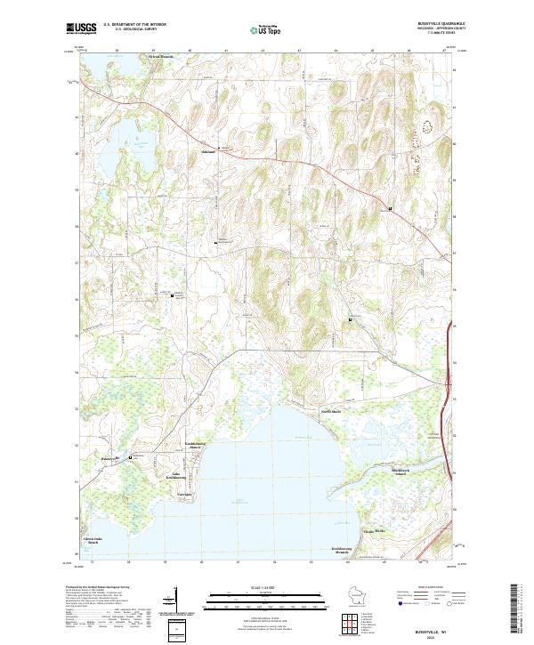
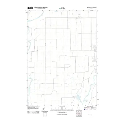
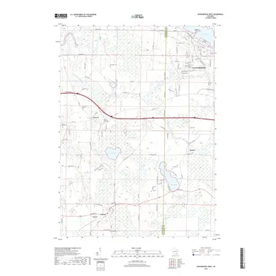
2022 Map of Busseyville
USGS Topo · Published 2022About this map
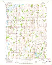
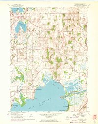
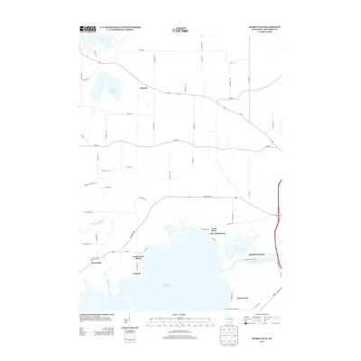
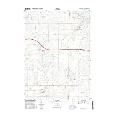
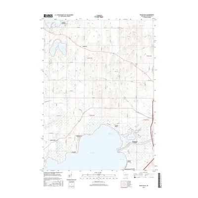
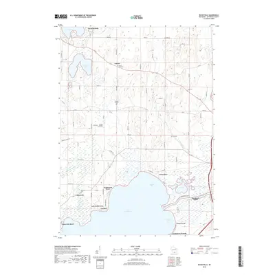
Lake Koshkonong dominates the southern landscape of this Jefferson County quadrangle, where the Rock River flows into a broad basin defined by wetlands and recreational settlements. Along these shores, distinct communities such as Carcajou, Koshkonong Manor, and the unusually named Vinnie Ha Ha reveal a pattern of shoreline development that transitions into the agricultural interior. Local history is deeply etched into the terrain through sites like Sylvan Mounds and Koshkonong Mounds, indicating long-standing human presence near the water's edge.
Find a feature on this map
74 named features on this map. Tap any name to fly to it.
Don’t see what you’re looking for? This feature index may not catch every label — zoom into the map to look around manually.
Map Details
Editions of this 2022 Busseyville Map
This is the sole edition of this map. No revisions or reprints were ever made.
Historical Maps of Oakland Through Time
21 maps found

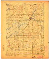
1891 Koshkonong
Jefferson County, WI
1894 Koshkonong
Jefferson County, WI
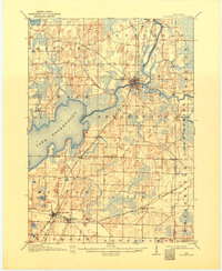
1906 Koshkonong
Jefferson County, WI
1959 Oconomowoc West
Jefferson County, WI
1959 Richwood
Jefferson County, WI
1961 Busseyville
Jefferson County, WI
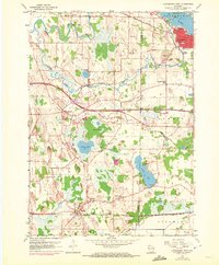
2010 Busseyville
Jefferson County, WI
2010 Oconomowoc West
Jefferson County, WI
2010 Richwood
Jefferson County, WI
2013 Busseyville
Jefferson County, WI
2013 Oconomowoc West
Jefferson County, WI
2013 Richwood
Jefferson County, WI
2015 Oconomowoc West
Jefferson County, WI
2015 Richwood
Jefferson County, WI
2016 Busseyville
Jefferson County, WI
2018 Busseyville
Jefferson County, WI
2018 Oconomowoc West
Jefferson County, WI
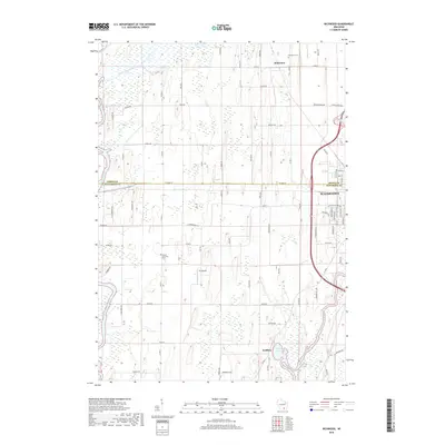
2018 Richwood
Jefferson County, WI
2022 Busseyville
Jefferson County, WI
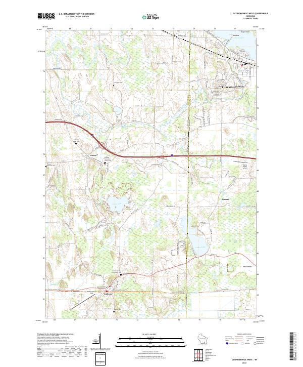
2022 Oconomowoc West
Jefferson County, WI
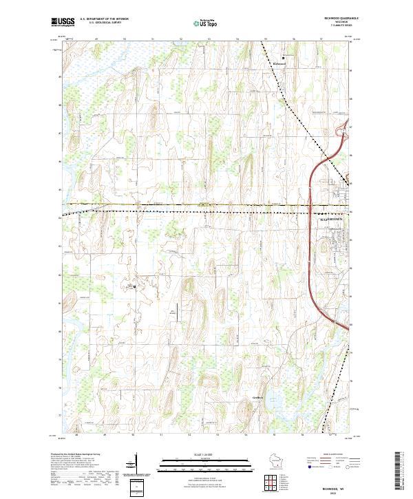
2022 Richwood
Jefferson County, WI