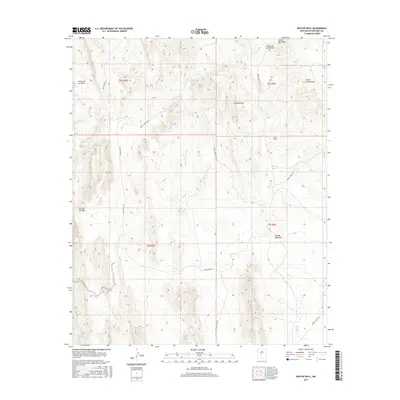
2017 Map of Bustos Well
USGS Topo · Published 2017About this map
Bustos Well serves as a focal point for this arid Socorro County landscape, where water management is defined by seasonal drainages and local catchments. The terrain is marked by significant topographical rises like La Montonera and the ridge of Bordo Atravesado, while deep cuts such as Arroyo de los Pinos and Arroyo del Tajo drain the high ground. The presence of Bustos Tank and Crespin Tank underscores the importance of surface water storage for ranching and land use in this desert environment.
Find a feature on this map
20 named features on this map. Tap any name to fly to it.
Don’t see what you’re looking for? This feature index may not catch every label — zoom into the map to look around manually.
Map Details
Editions of this 2017 Bustos Well Map
This is the sole edition of this map. No revisions or reprints were ever made.
Other maps of this area

1906 · Socorro
USGS Topo · 1:62,500

1916 · La Joya
USGS Topo · 1:125,000

1948 · Carthage
USGS Topo · 1:62,500

1948 · San Antonio
USGS Topo · 1:62,500

1954 · Tularosa
USGS Topo · 1:250,000

1954 · Socorro
USGS Topo · 1:250,000

1958 · Socorro
USGS Topo · 1:250,000

1958 · Tularosa
USGS Topo · 1:250,000

1959 · Loma De Las Canas
USGS Topo · 1:24,000

1959 · Mesa Del Yeso
USGS Topo · 1:24,000