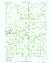
1958 Map of Butler East
USGS Topo · Published 1974About this map
The St Joseph River meanders through this borderland region where Indiana meets Ohio, defining the agricultural landscape of the mid-20th century. The town of Butler serves as a primary hub, intersected by major rail corridors including the Norfolk and Western and Penn Central lines. These transportation arteries, alongside The Grand Army of the Republic Highway, underscore the area's role as a transit corridor between rural settlements like Artic, Stafford Center, and Edgerton.
Find a feature on this map
42 named features on this map. Tap any name to fly to it.
Don’t see what you’re looking for? This feature index may not catch every label — zoom into the map to look around manually.
Map Details
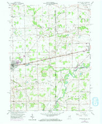
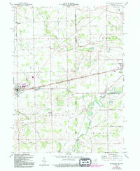
Editions of this 1958 Butler East Map
4 editions found

Other maps of this area

1914 · Pioneer
USGS Topo · 1:62,500

1914 · Bryan
USGS Topo · 1:62,500

1939 · Hamilton
USGS Topo · 1:24,000

1940 · Metz
USGS Topo · 1:24,000

1943 · Bryan
USGS Topo · 1:62,500

1944 · Pioneer
USGS Topo · 1:62,500

1948 · Hamilton
USGS Topo · 1:24,000

1953 · Fort Wayne
USGS Topo · 1:250,000

1956 · Fort Wayne
USGS Topo · 1:250,000

1958 · Hicksville
USGS Topo · 1:24,000