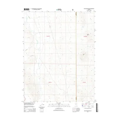
2014 Map of Butler Mountain
USGS Topo · Published 2014About this map
The East Walker River carves a winding path through this arid basin, marking the low ground between the western foothills and the rising slopes of the Wassuk Range to the east. This 2014 survey documents a landscape defined by vital water sources in an otherwise parched environment, noting specific locations like Buck Brush Spring, Big Spring, and Box Spring. These points would have been historically significant for both livestock and travelers navigating the high desert.
Find a feature on this map
14 named features on this map. Tap any name to fly to it.
Don’t see what you’re looking for? This feature index may not catch every label — zoom into the map to look around manually.
Map Details
Editions of this 2014 Butler Mountain Map
This is the sole edition of this map. No revisions or reprints were ever made.
Other maps of this area

1891 · Wellington
USGS Topo · 1:125,000

1893 · Wellington
USGS Topo · 1:125,000

1909 · Hawthorne
USGS Topo · 1:250,000

1911 · Hawthorne
USGS Topo · 1:250,000

1915 · Hawthorne
USGS Topo · 1:250,000

1948 · Walker Lake
USGS Topo · 1:250,000

1956 · Mt. Grant
USGS Topo · 1:62,500

1957 · Walker Lake
USGS Topo · 1:250,000

1957 · Yerington
USGS Topo · 1:62,500

1958 · Pine Grove Hills
USGS Topo · 1:62,500