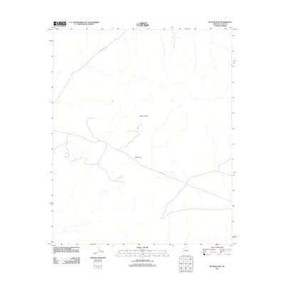
2011 Map of Butler Pass
USGS Topo · Published 2011About this map
Butler Pass serves as a central topographic corridor through the arid landscape of La Paz County in this 2011 survey. The terrain is defined by the sharp rise of Battleship Peak, a prominent landmark that overlooks a network of ephemeral drainages and desert washes. This map illustrates the intersection of geography and infrastructure in a sparse environment, where Lincoln Ranch Rd and Powerline Rd provide the primary access through the rugged desert flats and mountainous terrain. The presence of these named routes and geographic landmarks highlights the importance of specific corridors for transportation and utilities in the high desert, far from established town centers.
Find a feature on this map
4 named features on this map. Tap any name to fly to it.
Don’t see what you’re looking for? This feature index may not catch every label — zoom into the map to look around manually.
Map Details
Editions of this 2011 Butler Pass Map
This is the sole edition of this map. No revisions or reprints were ever made.
Other maps of this area

1923 · Signal
USGS Topo · 1:250,000

1942 · Signal
USGS Topo · 1:250,000

1942 · Vicksburg
USGS Topo · 1:250,000

1950 · Prescott
USGS Topo · 1:250,000

1954 · Prescott
USGS Topo · 1:250,000

1954 · Phoenix
USGS Topo · 1:250,000

1957 · Phoenix
USGS Topo · 1:250,000

1958 · Prescott
USGS Topo · 1:250,000

1958 · Phoenix
USGS Topo · 1:250,000

1959 · Prescott
USGS Topo · 1:250,000