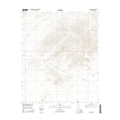
2014 Map of Butler Pass
USGS Topo · Published 2014About this map
Battleship Peak commands the central portion of this landscape, serving as a prominent landmark in the arid terrain of La Paz County. The area is defined by the steep elevation changes of the Bouse Hills and the transition into the expansive Butler Valley to the south. Human infrastructure is limited to long-distance utilities and desert transit routes, most notably the Powerline Rd that cuts through Butler Pass. This passage represents a critical corridor for movement through the high ground, while the presence of Lincoln Ranch Rd in the northwest quadrant indicates established access to the more remote sections of the township. The map provides a detailed view of the natural relief and sparse desert navigation points that have historically governed travel and land use in this part of Arizona.
Find a feature on this map
10 named features on this map. Tap any name to fly to it.
Don’t see what you’re looking for? This feature index may not catch every label — zoom into the map to look around manually.
Map Details
Editions of this 2014 Butler Pass Map
This is the sole edition of this map. No revisions or reprints were ever made.
Other maps of this area

1923 · Signal
USGS Topo · 1:250,000

1942 · Signal
USGS Topo · 1:250,000

1942 · Vicksburg
USGS Topo · 1:250,000

1950 · Prescott
USGS Topo · 1:250,000

1954 · Prescott
USGS Topo · 1:250,000

1954 · Phoenix
USGS Topo · 1:250,000

1957 · Phoenix
USGS Topo · 1:250,000

1958 · Prescott
USGS Topo · 1:250,000

1958 · Phoenix
USGS Topo · 1:250,000

1959 · Prescott
USGS Topo · 1:250,000