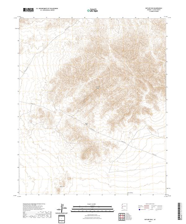
2021 Map of Butler Pass
USGS Topo · Published 2021About this map
Battleship Peak commands the center of this landscape, marking a significant elevation in a region defined by dramatic basin-and-range topography. This 2021 survey illustrates the stark transition between the elevated Bouse Hills and the wide expanse of the Butler Valley to the south. The land is crossed by functional corridors such as Powerline Rd and Lincoln Ranch Rd, which follow the natural contours of the desert floor. The map highlights Butler Pass as a key topographic notch between the peaks, serving as a natural transit point through the range. While modern in its data collection, the map preserves the foundational survey grid, including townships like t9n r15w, showing how these arid lands were historically partitioned for management.
Find a feature on this map
12 named features on this map. Tap any name to fly to it.
Don’t see what you’re looking for? This feature index may not catch every label — zoom into the map to look around manually.
Map Details
Editions of this 2021 Butler Pass Map
This is the sole edition of this map. No revisions or reprints were ever made.
Other maps of this area

1923 · Signal
USGS Topo · 1:250,000

1942 · Signal
USGS Topo · 1:250,000

1942 · Vicksburg
USGS Topo · 1:250,000

1950 · Prescott
USGS Topo · 1:250,000

1954 · Prescott
USGS Topo · 1:250,000

1954 · Phoenix
USGS Topo · 1:250,000

1957 · Phoenix
USGS Topo · 1:250,000

1958 · Prescott
USGS Topo · 1:250,000

1958 · Phoenix
USGS Topo · 1:250,000

1959 · Prescott
USGS Topo · 1:250,000