
1953 Map of Butler
USGS Topo · Published 1955About this map
The Licking River winds sharply through this rural landscape on the border of Campbell and Pendleton Counties, carving a deep valley that anchors the local community. The town of Butler sits at a prominent bend in the river, served by the Louisville and Nashville railroad which follows the western bank. This mid-century survey reveals a network of upland ridges populated by small settlements like Peach Grove, Kohler, and Mt Auburn, each connected by winding roads that trace the topography. Genealogists will find significant value in the numerous small burial grounds and rural houses of worship, including Butler Cem, Pleasant Hill Cem, and the Fisher Tabernacle. The drainage patterns of Flour Creek and Twelvemile Creek define the agricultural potential of the region, showing how the river and its tributaries dictated the placement of homesteads and early transport routes.
Find a feature on this map
28 named features on this map. Tap any name to fly to it.
Don’t see what you’re looking for? This feature index may not catch every label — zoom into the map to look around manually.
Map Details
Editions of this 1953 Butler Map
This is the sole edition of this map. No revisions or reprints were ever made.
Other maps of this area

1929 · Alexandria
USGS Topo · 1:48,000

1930 · Falmouth
USGS Topo · 1:48,000

1931 · Felicity
USGS Topo · 1:62,500

1936 · Alexandria
USGS Topo · 1:62,500

1936 · Falmouth
USGS Topo · 1:62,500

1952 · Berlin
USGS Topo · 1:24,000

1953 · Laurel
USGS Topo · 1:24,000

1953 · New Richmond
USGS Topo · 1:24,000
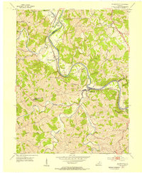
1953 · De Mossville
USGS Topo · 1:24,000
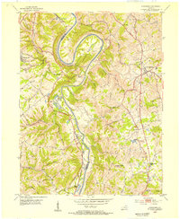
1953 · Alexandria
USGS Topo · 1:24,000