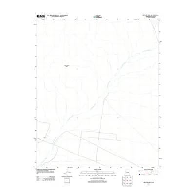
2011 Map of Butler Well
USGS Topo · Published 2011About this map
Cunningham Wash dictates the movement of water and travelers across this arid stretch of La Paz County, carving a wide path through the desert landscape. The map centers on the small settlement of Butler Well, a vital water source and historical junction for those navigating the rugged interior. Nearby, Camp Bouse and its prominent landmark, Camp Bouse Peak, point to the area's significance in military history, particularly its role as a secret training ground during World War II. The sparse infrastructure is defined by long, straight reaches of Mc Vay Rd and Powerline Rd, reflecting a landscape built on utility and remote operations. To the northeast, North Tank provides another essential waypoint in an environment where reliable water sources have historically determined the viability of human activity.
Find a feature on this map
7 named features on this map. Tap any name to fly to it.
Don’t see what you’re looking for? This feature index may not catch every label — zoom into the map to look around manually.
Map Details
Editions of this 2011 Butler Well Map
This is the sole edition of this map. No revisions or reprints were ever made.
Other maps of this area

1923 · Signal
USGS Topo · 1:250,000

1942 · Signal
USGS Topo · 1:250,000

1942 · Vicksburg
USGS Topo · 1:250,000

1950 · Prescott
USGS Topo · 1:250,000

1954 · Prescott
USGS Topo · 1:250,000

1954 · Phoenix
USGS Topo · 1:250,000

1957 · Phoenix
USGS Topo · 1:250,000

1958 · Prescott
USGS Topo · 1:250,000

1958 · Phoenix
USGS Topo · 1:250,000

1959 · Prescott
USGS Topo · 1:250,000