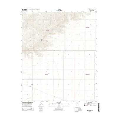
2014 Map of Butler Well
USGS Topo · Published 2014About this map
Camp Bouse Peak rises above the arid landscape of La Paz County, marking a significant high point in this desert region. The map centers on the namesake Butler Well, a critical water source located just north of Powerline Rd. This area is defined by the drainage patterns of Cunningham Wash, which snakes through the township boundaries of T9N and T8N. The presence of North Tank and various road alignments, such as Avenue 4E, suggests a landscape organized around water management and desert access. This 2014 survey illustrates the sparse but deliberate human footprint in the western Arizona desert, where geographic features like Camp Bouse Peak served as vital landmarks for navigation and land division.
Find a feature on this map
10 named features on this map. Tap any name to fly to it.
Don’t see what you’re looking for? This feature index may not catch every label — zoom into the map to look around manually.
Map Details
Editions of this 2014 Butler Well Map
This is the sole edition of this map. No revisions or reprints were ever made.
Other maps of this area

1923 · Signal
USGS Topo · 1:250,000

1942 · Signal
USGS Topo · 1:250,000

1942 · Vicksburg
USGS Topo · 1:250,000

1950 · Prescott
USGS Topo · 1:250,000

1954 · Prescott
USGS Topo · 1:250,000

1954 · Phoenix
USGS Topo · 1:250,000

1957 · Phoenix
USGS Topo · 1:250,000

1958 · Prescott
USGS Topo · 1:250,000

1958 · Phoenix
USGS Topo · 1:250,000

1959 · Prescott
USGS Topo · 1:250,000