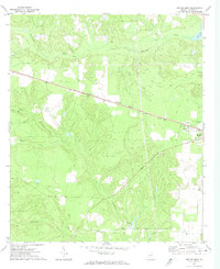
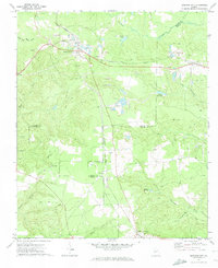
1971 Map of Butler West
USGS Topo · Published 1974About this map
Central of Georgia tracks cut a straight path across Taylor County, defining the transport corridor that connects the small community of Mizell to the western outskirts of Butler. This landscape is characterized by the intricate drainage of Patsiliga Creek and Little Whitewater Creek, where the natural flow is occasionally interrupted by man-made water features such as McCants Millpond and Rustins Pd. The concentration of activity near the eastern edge of the sheet shows the development of Goldson and the Butler Municipal Airport adjacent to the rail line.
Find a feature on this map
19 named features on this map. Tap any name to fly to it.
Don’t see what you’re looking for? This feature index may not catch every label — zoom into the map to look around manually.
Map Details
Editions of this 1971 Butler West Map
2 editions found
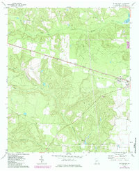
Other maps of this area

1955 · Phenix City
USGS Topo · 1:250,000

1957 · Phenix City
USGS Topo · 1:250,000

1958 · Phenix City
USGS Topo · 1:250,000

1971 · Rupert
USGS Topo · 1:24,000

1971 · Prattsburg
USGS Topo · 1:24,000
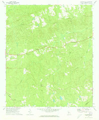
1971 · Baldwinville
USGS Topo · 1:24,000

1971 · Fickling Mill
USGS Topo · 1:24,000

1971 · Ideal North
USGS Topo · 1:24,000
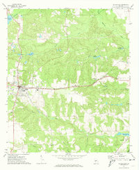
1971 · Butler East
USGS Topo · 1:24,000
1971 · Junction City
USGS Topo · 1:24,000