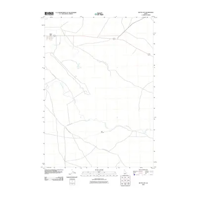
2010 Map of Butte City
USGS Topo · Published 2010About this map
Butte City serves as the primary settlement on this Idaho landscape, located at the intersection of local routes and the modern highway system. The terrain is defined by the winding course of the Big Lost River, which cuts through the region towards the dramatic geological feature of Box Canyon. This drainage pattern reflects the unique hydrology of the area, where surface water interacts with the porous volcanic geology of the Snake River Plain. A network of rural tracks, including Tincup Butte Rd and the Arco-Service Berry Rd, provides access across the open sagebrush and lava fields. These roads trace the historic movement of people and livestock between the river valley and the surrounding volcanic buttes.
Find a feature on this map
7 named features on this map. Tap any name to fly to it.
Don’t see what you’re looking for? This feature index may not catch every label — zoom into the map to look around manually.
Map Details
Editions of this 2010 Butte City Map
This is the sole edition of this map. No revisions or reprints were ever made.
Other maps of this area

1955 · Idaho Falls
USGS Topo · 1:250,000

1958 · Idaho Falls
USGS Topo · 1:250,000

1972 · Quaking Aspen Butte
USGS Topo · 1:24,000

1972 · Arco North
USGS Topo · 1:24,000

1972 · Arco Hills SE
USGS Topo · 1:24,000

1972 · Big Southern Butte
USGS Topo · 1:24,000

1972 · Arco South
USGS Topo · 1:24,000

1972 · Howe Peak
USGS Topo · 1:24,000

1972 · Butte City
USGS Topo · 1:24,000

1972 · Arco Hills
USGS Topo · 1:24,000