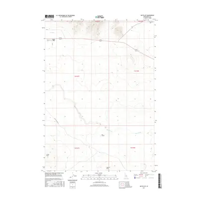
2017 Map of Butte City
USGS Topo · Published 2017About this map
Butte City serves as the primary settlement on this Idaho landscape, where the high desert meets a complex hydrological network. The Big Lost River meanders across the southern sections of the quadrangle, notably passing through Box Canyon and under the Arco-Service Berry Rd. This waterway is vital to the region's agricultural infrastructure, as evidenced by the Arco Canal running near the town site. The topography is defined by significant volcanic and geological landmarks including Sixmile Butte in the southwest and Teakettle Butte to the southeast, which rise above the level plains of Deadman Flat. The grid-like division of public lands is clearly marked through various townships, showing the intersection of local transportation routes like Cedar St and the broader reach of the regional water management systems in a characteristically arid environment.
Find a feature on this map
16 named features on this map. Tap any name to fly to it.
Don’t see what you’re looking for? This feature index may not catch every label — zoom into the map to look around manually.
Map Details
Editions of this 2017 Butte City Map
This is the sole edition of this map. No revisions or reprints were ever made.
Other maps of this area

1955 · Idaho Falls
USGS Topo · 1:250,000

1958 · Idaho Falls
USGS Topo · 1:250,000

1972 · Quaking Aspen Butte
USGS Topo · 1:24,000

1972 · Arco North
USGS Topo · 1:24,000

1972 · Arco Hills SE
USGS Topo · 1:24,000

1972 · Big Southern Butte
USGS Topo · 1:24,000

1972 · Arco South
USGS Topo · 1:24,000

1972 · Howe Peak
USGS Topo · 1:24,000

1972 · Butte City
USGS Topo · 1:24,000

1972 · Arco Hills
USGS Topo · 1:24,000