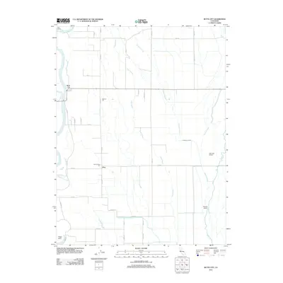
2012 Map of Butte City
USGS Topo · Published 2012About this map
The Sacramento River defines the western edge of this Glenn County landscape, where the small community of Butte City sits along the levee. This 2012 survey illustrates a complex hydrological network of secondary waterways, including Angel Slough, Campbell Slough, and Drumheller Slough, which weave through the agricultural flats. These sloughs create distinctive landforms like Oak Leaf Island and Hoodoo Island further east near Butte Cr.
Find a feature on this map
36 named features on this map. Tap any name to fly to it.
Don’t see what you’re looking for? This feature index may not catch every label — zoom into the map to look around manually.
Map Details
Editions of this 2012 Butte City Map
This is the sole edition of this map. No revisions or reprints were ever made.
Other maps of this area

1888 · Marysville
USGS Topo · 1:125,000

1891 · Chico
USGS Topo · 1:125,000

1891 · Marysville
USGS Topo · 1:125,000

1893 · Chico
USGS Topo · 1:125,000

1894 · Marysville
USGS Topo · 1:125,000

1895 · Marysville
USGS Topo · 1:125,000

1895 · Chico
USGS Topo · 1:125,000

1906 · Maxwell
USGS Topo · 1:62,500

1906 · Willows
USGS Topo · 1:62,500

1911 · Sanborn Slough
USGS Topo · 1:31,680