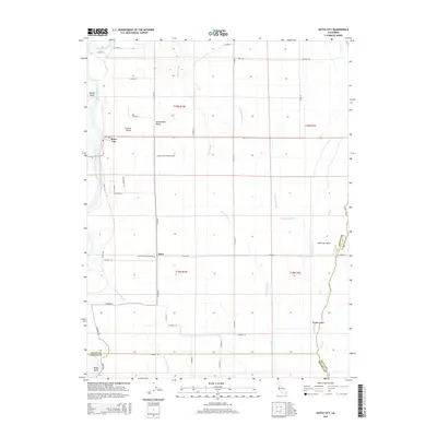
2015 Map of Butte City
USGS Topo · Published 2015About this map
The Sacramento River and its complex network of sloughs dominate this 2015 study of the Sacramento Valley, where the water-shaped landscape of Glenn and Colusa counties is meticulously documented. The settlement of Butte City serves as a primary waypoint along Highway 162, while the small community of Afton sits further south along the county border. This map is particularly valuable for genealogical research, identifying both the Butte City Cemetery and the Marvin Chapel Cemetery. The hydrology of the region is exceptionally detailed, tracing the winding paths of Angel Slough, Drumheller Slough, and Campbell Slough through the valley floor. Notable landforms created by these shifting waterways include Hanson Island in the river and Hoodoo Island further east near Butte Creek. The map provides a clear record of the rural road system, including Levee Rd and various numbered county routes that stitch together these agricultural lands.
Find a feature on this map
45 named features on this map. Tap any name to fly to it.
Don’t see what you’re looking for? This feature index may not catch every label — zoom into the map to look around manually.
Map Details
Editions of this 2015 Butte City Map
This is the sole edition of this map. No revisions or reprints were ever made.
Other maps of this area

1888 · Marysville
USGS Topo · 1:125,000

1891 · Chico
USGS Topo · 1:125,000

1891 · Marysville
USGS Topo · 1:125,000

1893 · Chico
USGS Topo · 1:125,000

1894 · Marysville
USGS Topo · 1:125,000

1895 · Marysville
USGS Topo · 1:125,000

1895 · Chico
USGS Topo · 1:125,000

1906 · Maxwell
USGS Topo · 1:62,500

1906 · Willows
USGS Topo · 1:62,500

1911 · Sanborn Slough
USGS Topo · 1:31,680