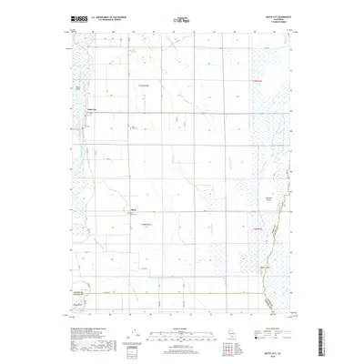
2018 Map of Butte City
USGS Topo · Published 2018About this map
The Sacramento River meanders along the western edge of this Glenn County region, shaping a landscape defined by seasonal waterways and low-lying islands. Butte City serves as a primary point of interest near the riverbanks, situated where Hwy 162 crosses the water. The surrounding alluvial plains are crisscrossed by a complex network of drainage features, including Angel Slough, Drumheller Slough, and Campbell Slough, which isolate terrain features like Hanson Island and Hoodoo Island.
Find a feature on this map
49 named features on this map. Tap any name to fly to it.
Don’t see what you’re looking for? This feature index may not catch every label — zoom into the map to look around manually.
Map Details
Editions of this 2018 Butte City Map
This is the sole edition of this map. No revisions or reprints were ever made.
Other maps of this area

1888 · Marysville
USGS Topo · 1:125,000

1891 · Chico
USGS Topo · 1:125,000

1891 · Marysville
USGS Topo · 1:125,000

1893 · Chico
USGS Topo · 1:125,000

1894 · Marysville
USGS Topo · 1:125,000

1895 · Marysville
USGS Topo · 1:125,000

1895 · Chico
USGS Topo · 1:125,000

1906 · Maxwell
USGS Topo · 1:62,500

1906 · Willows
USGS Topo · 1:62,500

1911 · Sanborn Slough
USGS Topo · 1:31,680