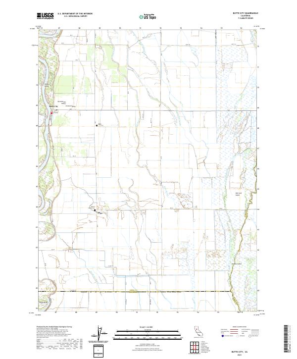
2021 Map of Butte City
USGS Topo · Published 2021About this map
The Sacramento River defines the western edge of this landscape, carving a winding path through the Sacramento Valley near the small settlement of Butte City. The map reveals a complex network of wetlands and seasonal waterways, including Angel Slough, Campbell Slough, and Drumheller Slough, which weave between agricultural plots and managed lands. These features, along with names like Hanson Island and Hoodoo Island, illustrate the flood-prone nature of this river-driven economy.
Find a feature on this map
54 named features on this map. Tap any name to fly to it.
Don’t see what you’re looking for? This feature index may not catch every label — zoom into the map to look around manually.
Map Details
Editions of this 2021 Butte City Map
This is the sole edition of this map. No revisions or reprints were ever made.
Other maps of this area

1888 · Marysville
USGS Topo · 1:125,000

1891 · Chico
USGS Topo · 1:125,000

1891 · Marysville
USGS Topo · 1:125,000

1893 · Chico
USGS Topo · 1:125,000

1894 · Marysville
USGS Topo · 1:125,000

1895 · Marysville
USGS Topo · 1:125,000

1895 · Chico
USGS Topo · 1:125,000

1906 · Maxwell
USGS Topo · 1:62,500

1906 · Willows
USGS Topo · 1:62,500

1911 · Sanborn Slough
USGS Topo · 1:31,680