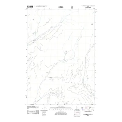
2011 Map of Butterfield Gulch
USGS Topo · Published 2011About this map
Lick Creek Lookout stands as a prominent vantage point overlooking the drainage networks of Adams County in this 2011 survey. The landscape is defined by the convergence of several major watercourses, including Lick Creek, Lost Creek, and Bear Creek, which carve through the high-elevation terrain. This map documents a region heavily managed for public use, with an extensive network of forestry routes like Nat For Dev Rd 139 and Steves Creek Rd providing access to the interior gulches.
Find a feature on this map
26 named features on this map. Tap any name to fly to it.
Don’t see what you’re looking for? This feature index may not catch every label — zoom into the map to look around manually.
Map Details
Editions of this 2011 Butterfield Gulch Map
This is the sole edition of this map. No revisions or reprints were ever made.
Other maps of this area

1911 · Meadows
USGS Topo · 1:125,000

1920 · Seven Devils Mining District
USGS Topo · 1:48,000

1938 · Riggins
USGS Topo · 1:96,000

1945 · Riggins
USGS Topo · 1:125,000

1954 · New Meadows
USGS Topo · 1:62,500

1955 · Baker
USGS Topo · 1:250,000

1955 · Grangeville
USGS Topo · 1:250,000

1957 · Cuprum
USGS Topo · 1:62,500

1957 · Hornet
USGS Topo · 1:62,500

1959 · Baker
USGS Topo · 1:250,000