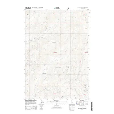
2013 Map of Butterfield Gulch
USGS Topo · Published 2013About this map
Payette National Forest dominates this section of Adams County, where high-elevation drainages and forest management infrastructure define the landscape. The topographical layout emphasizes the area's role in resource monitoring and recreation, anchored by the Lick Creek Lookout and the Huckleberry Campground. A network of Forest Service routes, such as Steves Creek Rd and Nat For Dev Rd 640, provides access to several canyons including Hoo Hoo Gulch, Bessie Gulch, and the namesake Butterfield Gulch.
Find a feature on this map
36 named features on this map. Tap any name to fly to it.
Don’t see what you’re looking for? This feature index may not catch every label — zoom into the map to look around manually.
Map Details
Editions of this 2013 Butterfield Gulch Map
This is the sole edition of this map. No revisions or reprints were ever made.
Other maps of this area

1911 · Meadows
USGS Topo · 1:125,000

1920 · Seven Devils Mining District
USGS Topo · 1:48,000

1938 · Riggins
USGS Topo · 1:96,000

1945 · Riggins
USGS Topo · 1:125,000

1954 · New Meadows
USGS Topo · 1:62,500

1955 · Baker
USGS Topo · 1:250,000

1955 · Grangeville
USGS Topo · 1:250,000

1957 · Cuprum
USGS Topo · 1:62,500

1957 · Hornet
USGS Topo · 1:62,500

1959 · Baker
USGS Topo · 1:250,000