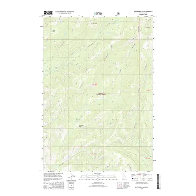
2017 Map of Butterfield Gulch
USGS Topo · Published 2017About this map
Payette National Forest dominates this landscape, showing a complex network of high ridges and deep drainage basins in Adams County. Centered on Butterfield Gulch, the map reveals a wilderness defined by water and topography, where Lick Creek Ridge serves as a prominent divide between several drainages including Upper Lick Creek and Mickey Creek. The presence of Placer Basin in the northwest suggests the area's legacy of mineral exploration, while named springs like Little Bear Spring and Big Tamarack Spring point to vital water sources for local wildlife and early forest users. A series of Forest Service roads, such as Black Lake Rd and Steves Creek Rd, provide the primary access through this remote section of the Idaho backcountry, crossing seasonal flows like Slim Cr and Fawn Cr.
Find a feature on this map
42 named features on this map. Tap any name to fly to it.
Don’t see what you’re looking for? This feature index may not catch every label — zoom into the map to look around manually.
Map Details
Editions of this 2017 Butterfield Gulch Map
This is the sole edition of this map. No revisions or reprints were ever made.
Other maps of this area

1911 · Meadows
USGS Topo · 1:125,000

1920 · Seven Devils Mining District
USGS Topo · 1:48,000

1938 · Riggins
USGS Topo · 1:96,000

1945 · Riggins
USGS Topo · 1:125,000

1954 · New Meadows
USGS Topo · 1:62,500

1955 · Baker
USGS Topo · 1:250,000

1955 · Grangeville
USGS Topo · 1:250,000

1957 · Cuprum
USGS Topo · 1:62,500

1957 · Hornet
USGS Topo · 1:62,500

1959 · Baker
USGS Topo · 1:250,000