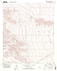
1973 Map of Butterfield Pass
USGS Topo · Published 1976About this map
Butterfield Stage Route cuts through the desert landscape of the Maricopa Mountains, following a historic path used by travelers long before modern infrastructure reached this part of Arizona. The map highlights the intersection of nineteenth-century overland travel and twentieth-century industrial transit, with the Southern Pacific Road running along the southern edge of the mountains. This rail line supported small stops like Shawmut and Estrella (Siding), which served as critical points in an otherwise arid expanse.
Find a feature on this map
16 named features on this map. Tap any name to fly to it.
Don’t see what you’re looking for? This feature index may not catch every label — zoom into the map to look around manually.
Map Details
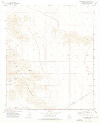
Editions of this 1973 Butterfield Pass Map
2 editions found
Other maps of this area

1951 · Estrella
USGS Topo · 1:62,500

1951 · Gila Bend
USGS Topo · 1:62,500

1951 · Mobile
USGS Topo · 1:62,500

1951 · Cotton Center
USGS Topo · 1:62,500

1953 · Ajo
USGS Topo · 1:250,000

1954 · Phoenix
USGS Topo · 1:250,000

1957 · Ajo
USGS Topo · 1:250,000

1957 · Phoenix
USGS Topo · 1:250,000

1958 · Ajo
USGS Topo · 1:250,000

1958 · Phoenix
USGS Topo · 1:250,000