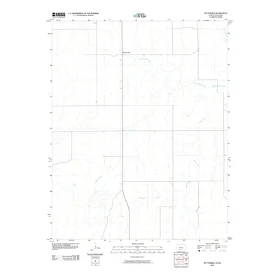
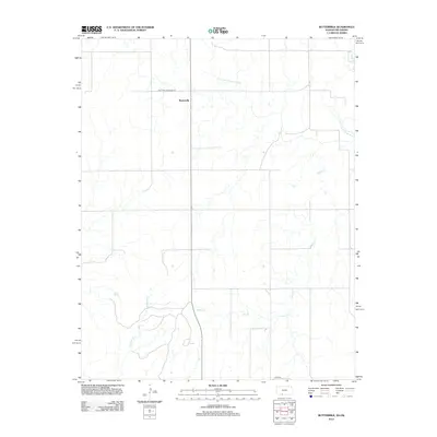
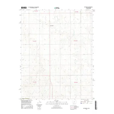
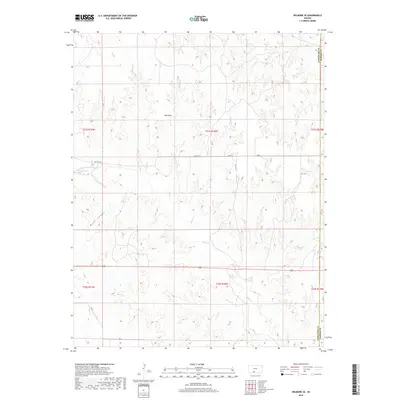
2022 Map of Buttermilk
USGS Topo · Published 2022About this map
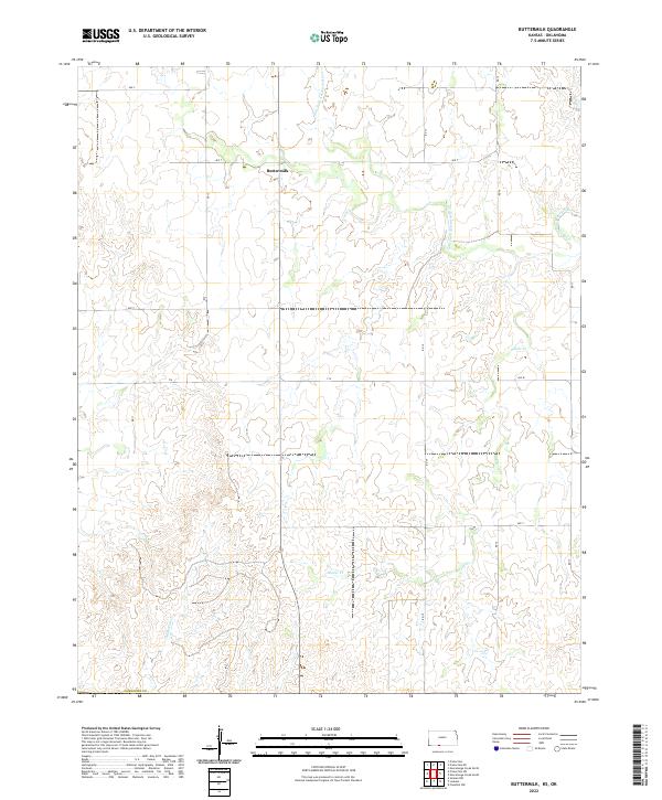
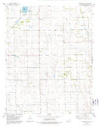
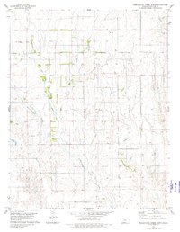
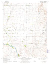
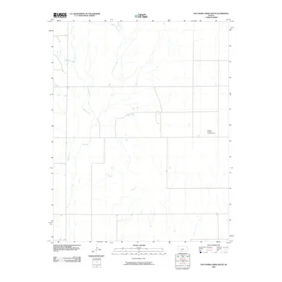
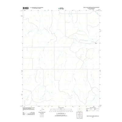
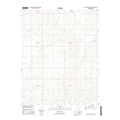
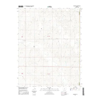
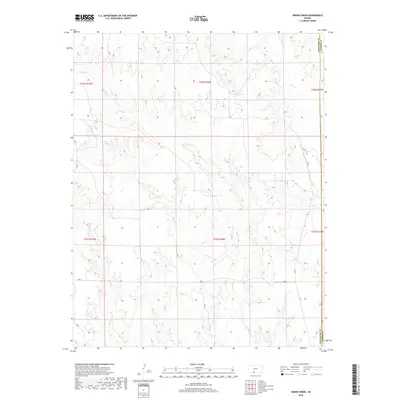
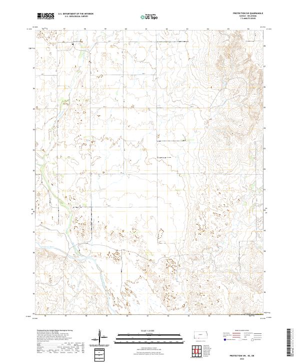
Buttermilk serves as the central point of interest in this section of Comanche Co, Kansas. The landscape is defined by the winding course of the Salt Fork Arkansas River, which cuts through the northern sections before meandering south. Further drainage is provided by local tributaries including Sheele Cr and Anderson Cr, which carve a series of breaks across the plains. This modern 2022 survey reveals a classic rural township-and-range structure, where the grid of local thoroughfares like Ave T and Rd 15 dictates the movement of people and resources between isolated ranching or agricultural operations. The map provides a contemporary record of how water access and topography continue to influence the footprint of this small settlement.
Find a feature on this map
21 named features on this map. Tap any name to fly to it.
Don’t see what you’re looking for? This feature index may not catch every label — zoom into the map to look around manually.
Map Details
Editions of this 2022 Buttermilk Map
This is the sole edition of this map. No revisions or reprints were ever made.
Historical Maps of Buttermilk Through Time
54 maps found
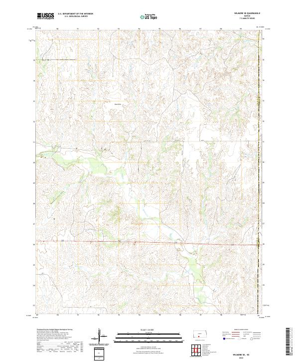
1968 Wilmore SE
Comanche County, KS
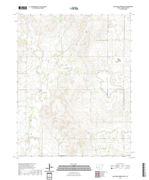
1979 East Kiowa Creek South
Comanche County, KS
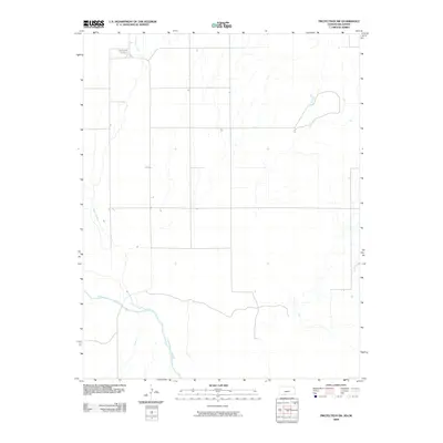
1979 Nescatunga Creek South
Comanche County, KS
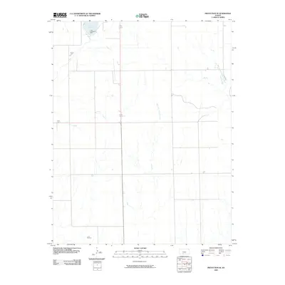
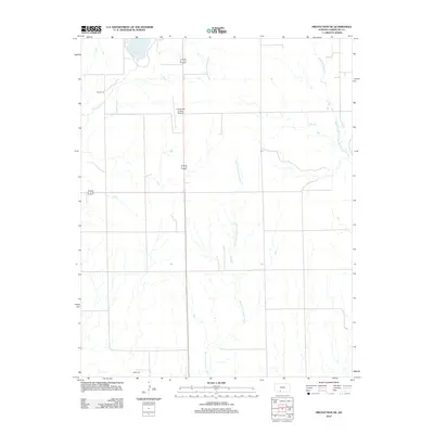
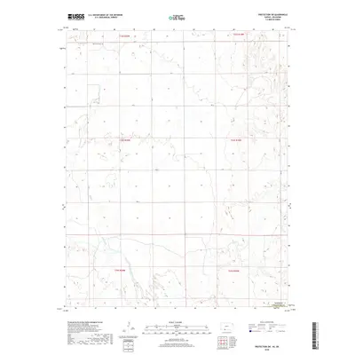
1979 Protection NE
Comanche County, KS
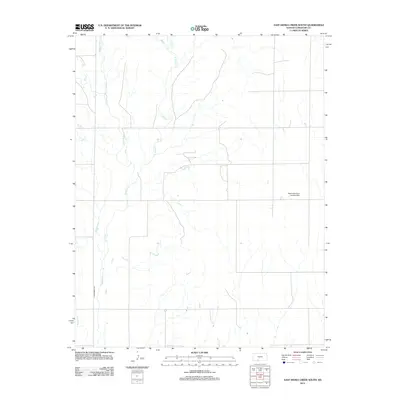
1980 Buttermilk
Comanche County, KS
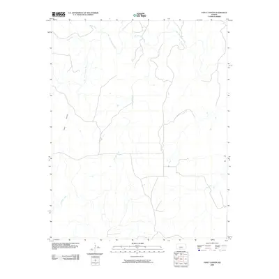
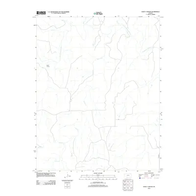
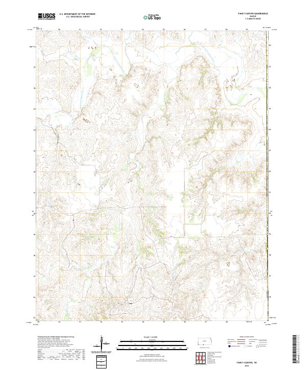
1980 Fancy Canyon
Comanche County, KS
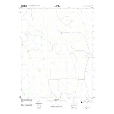
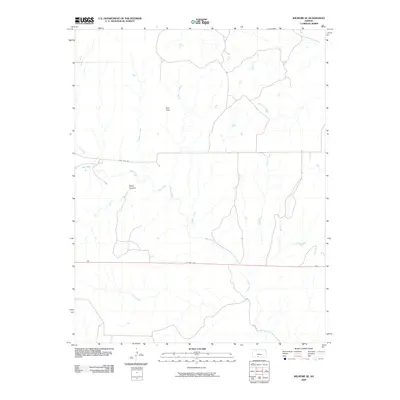
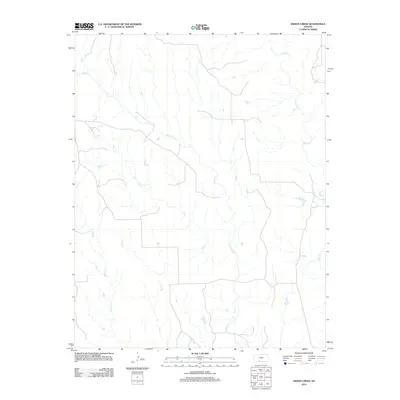
1980 Indian Creek
Comanche County, KS
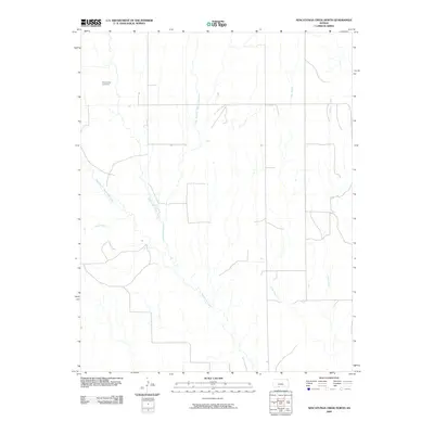
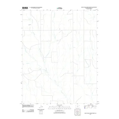
1980 Nescatunga Creek North
Comanche County, KS
1980 Protection SW
Comanche County, KS
2009 Buttermilk
Comanche County, KS
2009 East Kiowa Creek South
Comanche County, KS
2009 Fancy Canyon
Comanche County, KS
2009 Indian Creek
Comanche County, KS
2009 Nescatunga Creek North
Comanche County, KS
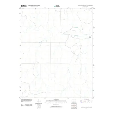
2009 Nescatunga Creek South
Comanche County, KS
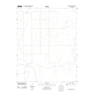
2009 Protection NE
Comanche County, KS
2009 Protection SW
Comanche County, KS
2009 Wilmore SE
Comanche County, KS
2012 Buttermilk
Comanche County, KS
2012 East Kiowa Creek South
Comanche County, KS
2012 Fancy Canyon
Comanche County, KS
2012 Indian Creek
Comanche County, KS
2012 Nescatunga Creek North
Comanche County, KS
2012 Nescatunga Creek South
Comanche County, KS
2012 Protection NE
Comanche County, KS
2012 Protection SW
Comanche County, KS
2012 Wilmore SE
Comanche County, KS
2015 Buttermilk
Comanche County, KS
2015 East Kiowa Creek South
Comanche County, KS
2015 Fancy Canyon
Comanche County, KS
2015 Nescatunga Creek North
Comanche County, KS
2015 Nescatunga Creek South
Comanche County, KS
2015 Protection NE
Comanche County, KS
2016 Indian Creek
Comanche County, KS
2016 Protection SW
Comanche County, KS
2016 Wilmore SE
Comanche County, KS
2018 Buttermilk
Comanche County, KS
2018 East Kiowa Creek South
Comanche County, KS
2018 Fancy Canyon
Comanche County, KS
2018 Indian Creek
Comanche County, KS
2018 Nescatunga Creek North
Comanche County, KS
2018 Nescatunga Creek South
Comanche County, KS
2018 Protection NE
Comanche County, KS
2018 Protection SW
Comanche County, KS
2018 Wilmore SE
Comanche County, KS
2022 Buttermilk
Comanche County, KS
2022 East Kiowa Creek South
Comanche County, KS
2022 Fancy Canyon
Comanche County, KS
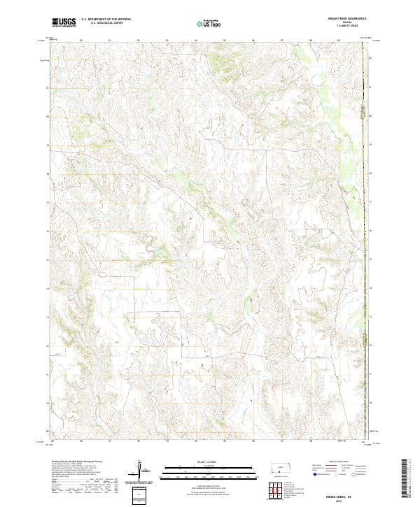
2022 Indian Creek
Comanche County, KS
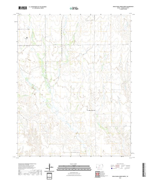
2022 Nescatunga Creek North
Comanche County, KS
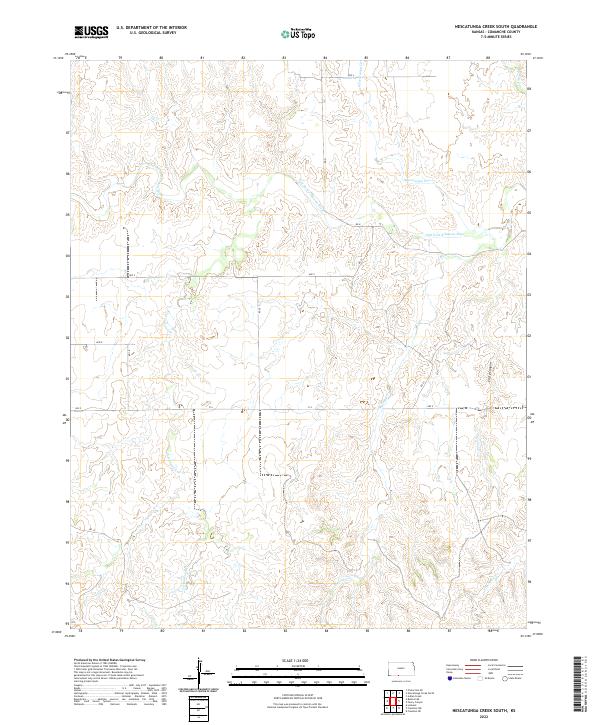
2022 Nescatunga Creek South
Comanche County, KS
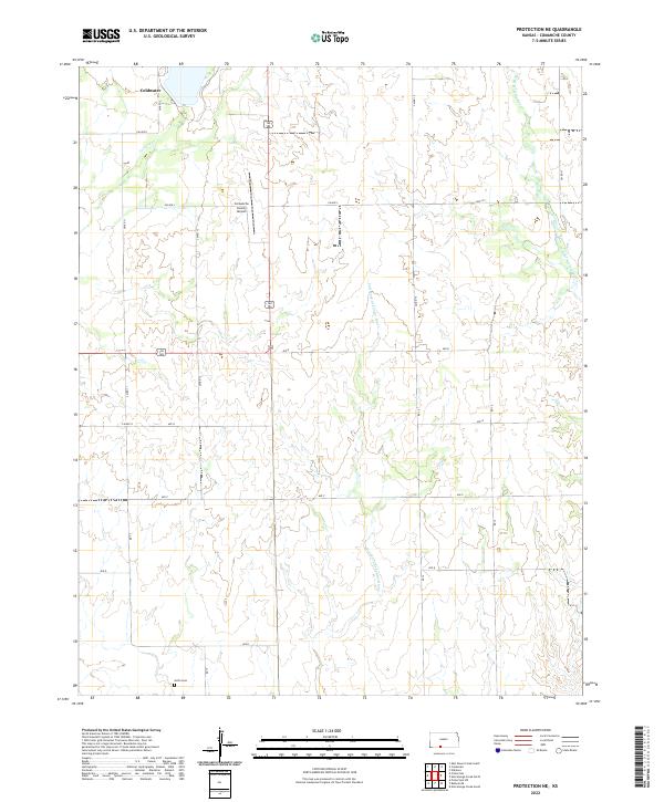
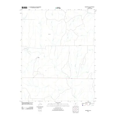
2022 Protection NE
Comanche County, KS
2022 Protection SW
Comanche County, KS
2022 Wilmore SE
Comanche County, KS