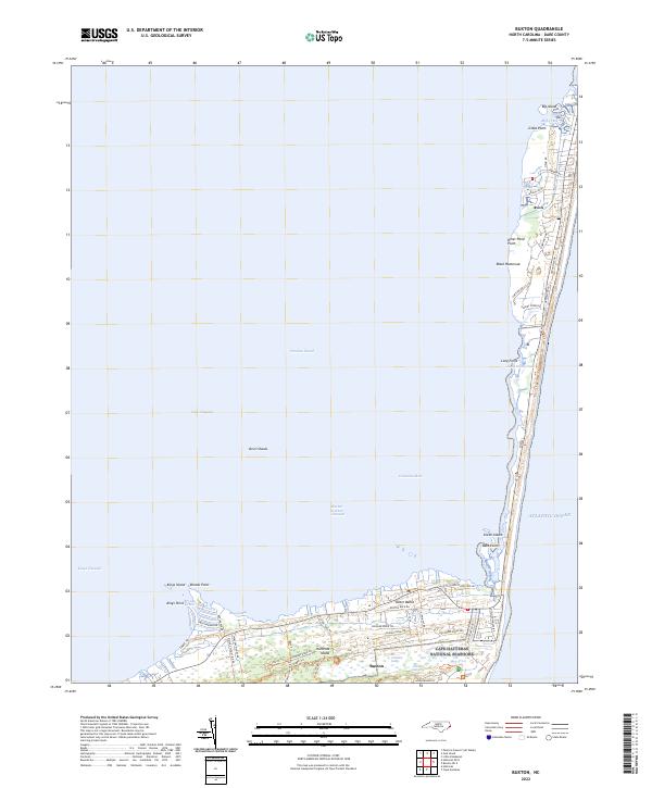
2022 Map of Buxton
USGS Topo · Published 2022About this map
Hatteras Island forms a narrow, wind-swept crescent between the Pamlico Sound and the Atlantic Ocean in this 2022 survey. This specific portion of the Outer Banks highlights the settlements of Buxton and Avon, where residential street grids like Snug Harbor Dr and Starboard Dr meet the protected expanses of the Cape Hatteras National Seashore. The landscape is a complex of marshes and maritime forests, featuring named ridges such as Flowers Ridge Rd and Middle Ridge Rd.
Find a feature on this map
55 named features on this map. Tap any name to fly to it.
Don’t see what you’re looking for? This feature index may not catch every label — zoom into the map to look around manually.
Map Details
Editions of this 2022 Buxton Map
This is the sole edition of this map. No revisions or reprints were ever made.
Other maps of this area

1948 · Cape Hatteras
USGS Topo · 1:24,000

1948 · Buxton
USGS Topo · 1:24,000

1950 · Cape Hatteras
USGS Topo · 1:24,000

1950 · Buxton
USGS Topo · 1:24,000

1955 · Wanchese
USGS Topo · 1:250,000

1957 · Manteo
USGS Topo · 1:250,000

1960 · Manteo
USGS Topo · 1:250,000

1985 · Cape Hatteras
USGS Topo · 1:100,000

2002 · Cape Hatteras
USGS Topo · 1:24,000

2011 · Buxton
USGS Topo · 1:24,000