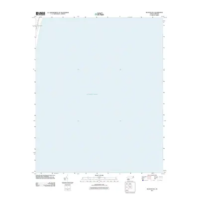
2011 Map of Buxton OE E
USGS Topo · Published 2011About this map
Avon Post Office stands as the primary terrestrial landmark on this coastal sheet, situated on the narrow strip of land that defines the Outer Banks. Most of the map is dominated by the expanse of the Atlantic Ocean, illustrating the extreme geography of the barrier islands where human settlement is confined to a thin margin between the sound and the sea. This 2011 survey, produced by the U.S. Geological Survey, uses imagery from the NAIP August 2009 collection to document the interface of North Carolina's shoreline and the open water, capturing the proximity of community infrastructure to the Atlantic coast.
Find a feature on this map
3 named features on this map. Tap any name to fly to it.
Don’t see what you’re looking for? This feature index may not catch every label — zoom into the map to look around manually.
Map Details
Editions of this 2011 Buxton OE E Map
This is the sole edition of this map. No revisions or reprints were ever made.
Other maps of this area

1948 · Cape Hatteras
USGS Topo · 1:24,000

1948 · Buxton
USGS Topo · 1:24,000

1950 · Cape Hatteras
USGS Topo · 1:24,000

1950 · Buxton
USGS Topo · 1:24,000

1955 · Wanchese
USGS Topo · 1:250,000

1957 · Manteo
USGS Topo · 1:250,000

1960 · Manteo
USGS Topo · 1:250,000

1985 · Cape Hatteras
USGS Topo · 1:100,000

2002 · Cape Hatteras
USGS Topo · 1:24,000

2011 · Buxton
USGS Topo · 1:24,000