2013 Map of Buxton OE E
USGS Topo · Published 2013About this map
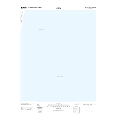
The Atlantic Ocean dominates this offshore view from the Outer Banks, captured as part of a 2013 survey by the U.S. Geological Survey. Situated just east of the barrier island shoreline, the map reveals the maritime character of the Dare County coast. The only terrestrial feature visible is a narrow segment of NC-12 along the western margin, the lifeline road that connects the remote coastal villages. This sheet highlights the proximity of the coastal highway to the shifting sands and surf, offering a focused look at the immediate offshore environment before the deeper waters of the open ocean. It serves as a specific reference for the coastal geography and transportation infrastructure of the Buxton and Avon vicinity at this time.
Find a feature on this map
2 named features on this map. Tap any name to fly to it.
Don’t see what you’re looking for? This feature index may not catch every label — zoom into the map to look around manually.
Map Details
Editions of this 2013 Buxton OE E Map
This is the sole edition of this map. No revisions or reprints were ever made.
Other maps of this area

1948 · Cape Hatteras
USGS Topo · 1:24,000

1948 · Buxton
USGS Topo · 1:24,000

1950 · Cape Hatteras
USGS Topo · 1:24,000

1950 · Buxton
USGS Topo · 1:24,000

1955 · Wanchese
USGS Topo · 1:250,000

1957 · Manteo
USGS Topo · 1:250,000

1960 · Manteo
USGS Topo · 1:250,000

1985 · Cape Hatteras
USGS Topo · 1:100,000

2002 · Cape Hatteras
USGS Topo · 1:24,000

2011 · Buxton
USGS Topo · 1:24,000