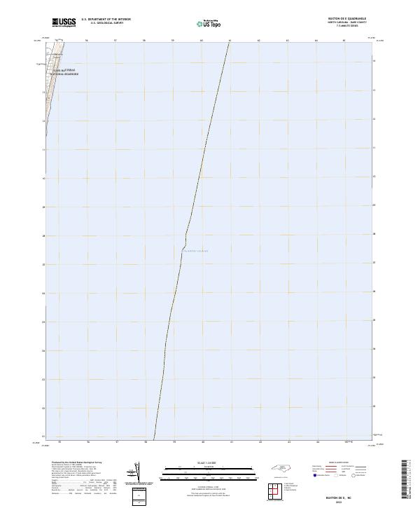
2022 Map of Buxton OE E
USGS Topo · Published 2022About this map
Hatteras Island forms a narrow, protective barrier against the open waters of the Atlantic Ocean along this stretch of the North Carolina coast. The land area shown is predominantly managed as part of the Cape Hatteras National Seashore, reflecting a landscape defined by its coastal orientation and preservation status. Because the majority of this quadrangle extends eastward into the ocean, the map highlights the singular relationship between the thin strip of the Outer Banks and the surrounding maritime environment, where the shoreline is the primary geographic feature.
Find a feature on this map
3 named features on this map. Tap any name to fly to it.
Don’t see what you’re looking for? This feature index may not catch every label — zoom into the map to look around manually.
Map Details
Editions of this 2022 Buxton OE E Map
This is the sole edition of this map. No revisions or reprints were ever made.
Other maps of this area

1948 · Cape Hatteras
USGS Topo · 1:24,000

1948 · Buxton
USGS Topo · 1:24,000

1950 · Cape Hatteras
USGS Topo · 1:24,000

1950 · Buxton
USGS Topo · 1:24,000

1955 · Wanchese
USGS Topo · 1:250,000

1957 · Manteo
USGS Topo · 1:250,000

1960 · Manteo
USGS Topo · 1:250,000

1985 · Cape Hatteras
USGS Topo · 1:100,000

2002 · Cape Hatteras
USGS Topo · 1:24,000

2011 · Buxton
USGS Topo · 1:24,000