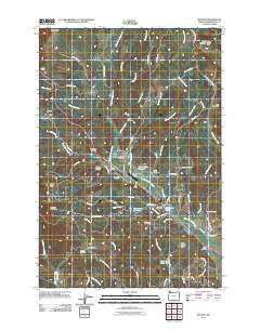
2011 Map of Buxton
USGS Topo · Published 2011About this map
The mountain-edged settlements of Buxton and Manning anchor this survey of the northern Tualatin Valley foothills. The landscape is defined by the headwaters of West Fork Dairy Creek and its many tributaries, such as Mendenhall Creek and Whitcher Creek, which carve deep canyons including Poliwaski Canyon and Hares Canyon. Transportation history is visible through features like the Sunset Tunnel and a network of rural roads such as NW Bacona Rd and NW Genzer Rd.
Find a feature on this map
83 named features on this map. Tap any name to fly to it.
Don’t see what you’re looking for? This feature index may not catch every label — zoom into the map to look around manually.
Map Details
Editions of this 2011 Buxton Map
This is the sole edition of this map. No revisions or reprints were ever made.
Other maps of this area

1940 · Vernonia
USGS Topo · 1:62,500

1941 · Keasey
USGS Topo · 1:62,500

1941 · Timber
USGS Topo · 1:62,500

1941 · Gales Creek
USGS Topo · 1:62,500

1943 · Vernonia
USGS Topo · 1:62,500

1943 · Keasey
USGS Topo · 1:62,500

1948 · Vancouver
USGS Topo · 1:250,000

1950 · Vancouver
USGS Topo · 1:250,000

1950 · Vancouver
USGS Topo · 1:250,000

1955 · Timber
USGS Topo · 1:62,500