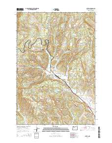
2014 Map of Buxton
USGS Topo · Published 2014About this map
The community of Buxton serves as a central hub in this 2014 survey, where the NW Sunset Hwy and Or-47 intersect near the W Fork Dairy Cr. The landscape is defined by the winding drainages of Mendenhall Cr, Williams Cr, and Whitcher Cr, which carve through the elevations of Green Mtn and Eagle Peak. This region of Washington County reveals a mix of timbered uplands and developed valley floors, with small settlements like Manning and Hayward anchoring the local geography.
Find a feature on this map
77 named features on this map. Tap any name to fly to it.
Don’t see what you’re looking for? This feature index may not catch every label — zoom into the map to look around manually.
Map Details
Editions of this 2014 Buxton Map
This is the sole edition of this map. No revisions or reprints were ever made.
Other maps of this area

1940 · Vernonia
USGS Topo · 1:62,500

1941 · Keasey
USGS Topo · 1:62,500

1941 · Timber
USGS Topo · 1:62,500

1941 · Gales Creek
USGS Topo · 1:62,500

1943 · Vernonia
USGS Topo · 1:62,500

1943 · Keasey
USGS Topo · 1:62,500

1948 · Vancouver
USGS Topo · 1:250,000

1950 · Vancouver
USGS Topo · 1:250,000

1950 · Vancouver
USGS Topo · 1:250,000

1955 · Timber
USGS Topo · 1:62,500