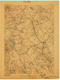
1893 Map of Buxton
USGS Topo · Published 1898About this map
The Saco River defines the industrial and geographic character of York and Cumberland counties in the late nineteenth century, powering a series of significant mill settlements. From Bonny Eagle down to Bar Mills and Union Falls, the river’s drop provided the energy for the region's timber and textile economies. This topography, surveyed in 1889 by W.H. Lovell under the direction of Marcus Baker, reveals a landscape where water and rail connectivity dictated development.
Find a feature on this map
56 named features on this map. Tap any name to fly to it.
Don’t see what you’re looking for? This feature index may not catch every label — zoom into the map to look around manually.
Map Details
Editions of this 1893 Buxton Map
3 editions found

Other maps of this area

1891 · Portland
USGS Topo · 1:62,500

1891 · Biddeford
USGS Topo · 1:62,500

1891 · Berwick
USGS Topo · 1:62,500

1891 · Kennebunk
USGS Topo · 1:62,500

1891 · Buxton
USGS Topo · 1:62,500

1891 · Newfield
USGS Topo · 1:62,500

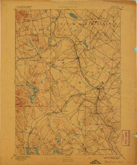
1892 · Buxton
USGS Topo · 1:62,500

1893 · Kennebunk
USGS Topo · 1:62,500

1893 · Berwick
USGS Topo · 1:62,500

1893 · Biddeford
USGS Topo · 1:62,500