
1893 Map of Buxton
USGS Topo · Published 1893About this map
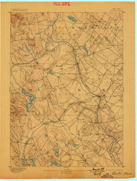
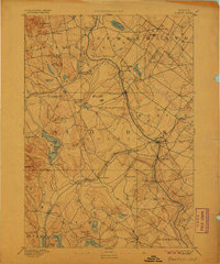
The Saco River and Little Ossipee River dictate the industrial and social layout of this late nineteenth-century York County landscape. Small mill-driven hamlets like Nasons Mills, Bonny Eagle, and Clarks Mills are established at strategic water-power points, while the Portland and Rochester Railroad cuts diagonally across the terrain, fueling the growth of junctions like South Hollis and East Waterboro. To the south, the communal settlement of Shaker Village near Shaker Pond represents a distinct cultural pocket in an area otherwise defined by timber and agriculture. The map captures the height of the river-and-rail economy, where settlements such as Bar Mills and Salmon Falls thrived on the Saco's descent. Upland features like Ossipee Hill and Maloy Mountain overlook a network of valley roads connecting rural centers like Limington and Hollis Center.
Find a feature on this map
56 named features on this map. Tap any name to fly to it.
Don’t see what you’re looking for? This feature index may not catch every label — zoom into the map to look around manually.
Map Details
Editions of this 1893 Buxton Map
3 editions found
Other maps of this area

1891 · Portland
USGS Topo · 1:62,500

1891 · Biddeford
USGS Topo · 1:62,500

1891 · Berwick
USGS Topo · 1:62,500

1891 · Kennebunk
USGS Topo · 1:62,500

1891 · Buxton
USGS Topo · 1:62,500

1891 · Newfield
USGS Topo · 1:62,500

1892 · Buxton
USGS Topo · 1:62,500

1893 · Kennebunk
USGS Topo · 1:62,500

1893 · Berwick
USGS Topo · 1:62,500

1893 · Biddeford
USGS Topo · 1:62,500