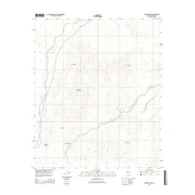
2015 Map of Buzzards Peak
USGS Topo · Published 2015About this map
Chocolate Mountains terrain dominates this 2015 survey of a desert landscape in Imperial County, defined by complex topography and dry watercourses. The prominent landform of Buzzards Peak stands as a primary landmark in the southwest, overlooking the surrounding arid reaches. This area is characterized by significant natural depressions and drainages, most notably the broad Vinagre Wash and the winding Turnaround Wash, which illustrate the hydrological patterns of the region. The map also identifies Gold Basin, suggesting a history of mineral interest or specific geological formations that have drawn attention to this part of the California desert. The lack of modern settlements emphasizes the primitive nature of the environment, where the landscape is primarily organized by the Public Land Survey System township and range lines.
Find a feature on this map
9 named features on this map. Tap any name to fly to it.
Don’t see what you’re looking for? This feature index may not catch every label — zoom into the map to look around manually.
Map Details
Editions of this 2015 Buzzards Peak Map
This is the sole edition of this map. No revisions or reprints were ever made.
Other maps of this area

1942 · Blythe
USGS Topo · 1:250,000

1945 · Cibola
USGS Topo · 1:62,500

1945 · Picacho
USGS Topo · 1:62,500

1951 · Picacho
USGS Topo · 1:62,500

1951 · Cibola
USGS Topo · 1:62,500

1953 · Palo Verde Mountains
USGS Topo · 1:62,500

1953 · Quartz Peak
USGS Topo · 1:62,500

1954 · Salton Sea
USGS Topo · 1:250,000
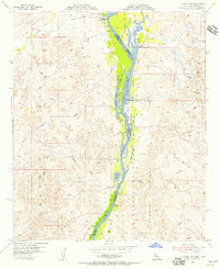
1954 · Picacho NW
USGS Topo · 1:24,000
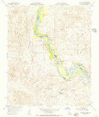
1954 · Picacho SW
USGS Topo · 1:24,000