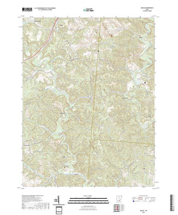
2023 Map of Byer
USGS Topo · Published 2023About this map
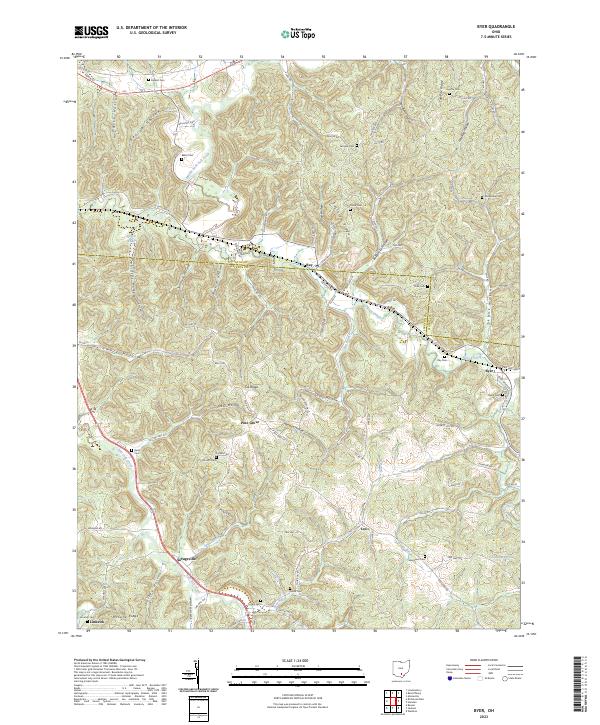
Ray and Byer sit along the winding path of Pigeon Creek within a landscape defined by sharp ridges and deep hollows. The settlement pattern here is tied closely to the topography, with small communities like Pine Grove and Savageville tucked into the valleys. A high density of family and community burial grounds, including Shoemaker Cem, Evergreen Cem, and Baker Cem, suggests a long history of local settlement across this portion of southern Ohio. The terrain is deeply dissected by drainage systems such as Middle Fork Salt Creek and Salt Lick Creek, creating isolated landforms like Log Pile Ridge and Fairview Ridge. Further south, the map identifies the locations of Limerick and Leo, showing a network of rural routes like Wellston-Pike and Raysville Rd that connect these dispersed upland and valley homesites.
Find a feature on this map
75 named features on this map. Tap any name to fly to it.
Don’t see what you’re looking for? This feature index may not catch every label — zoom into the map to look around manually.
Map Details
Editions of this 2023 Byer Map
This is the sole edition of this map. No revisions or reprints were ever made.
Historical Maps of Pine Grove Through Time
6 maps found