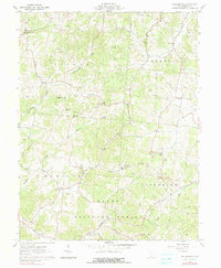
1961 Map of Petersburg
USGS Topo · Published 1990About this map
The rugged topography of Jackson County, Ohio, defines the landscape around Petersburg, where the Wayne National Forest covers significant portions of the southern terrain. This 1961 survey captures an area where industry and traditional community life overlapped, evidenced by numerous strip mines and gravel pits operating near family-named landmarks. The map is particularly rich for genealogical research, documenting dozens of small cemeteries and local institutions such as Grahamville Cem & Ch, Mt Pleasant Ch & Cem, and the Scioto Sch.
Find a feature on this map
57 named features on this map. Tap any name to fly to it.
Don’t see what you’re looking for? This feature index may not catch every label — zoom into the map to look around manually.
Map Details
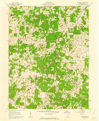
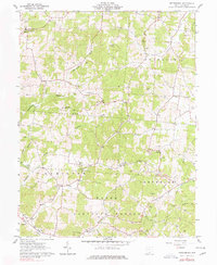
Editions of this 1961 Petersburg Map
3 editions found
Other maps of this area

1906 · Waverly
USGS Topo · 1:62,500

1908 · Waverly
USGS Topo · 1:62,500

1911 · Sciotoville
USGS Topo · 1:62,500

1912 · Oak Hill
USGS Topo · 1:62,500

1913 · Sciotoville
USGS Topo · 1:62,500

1913 · Jackson
USGS Topo · 1:62,500

1944 · Jackson
USGS Topo · 1:62,500

1947 · Columbus
USGS Topo · 1:250,000

1957 · Huntington
USGS Topo · 1:250,000

1960 · Huntington
USGS Topo · 1:250,000